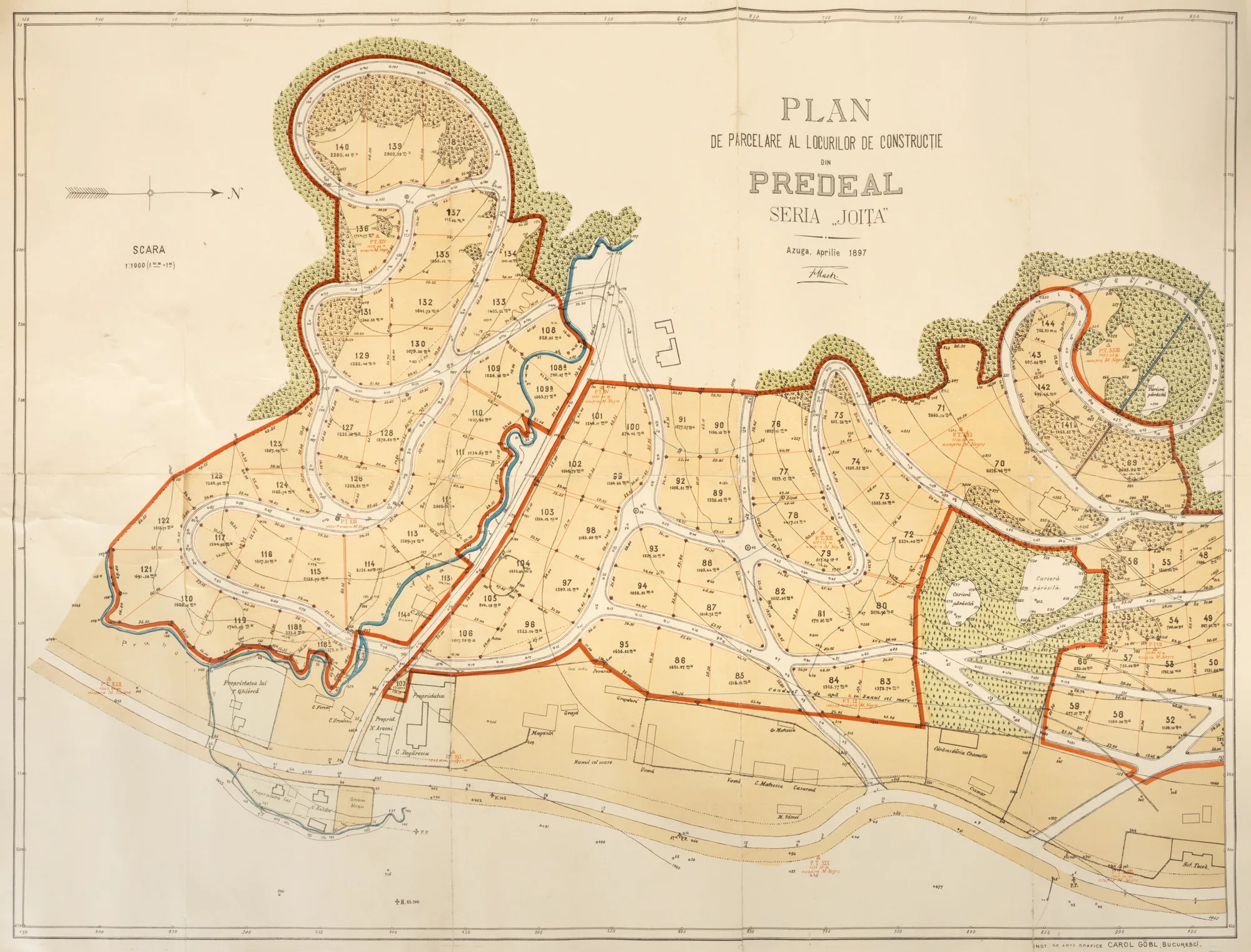

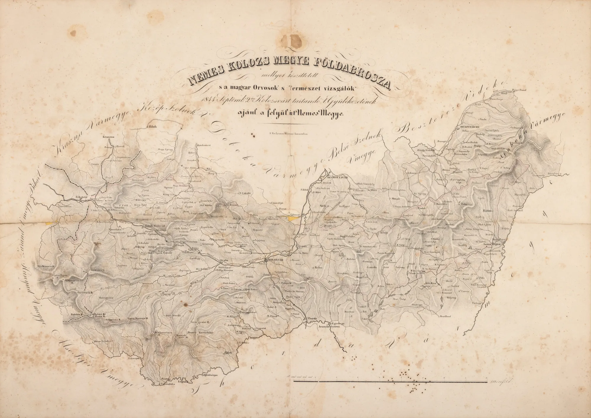
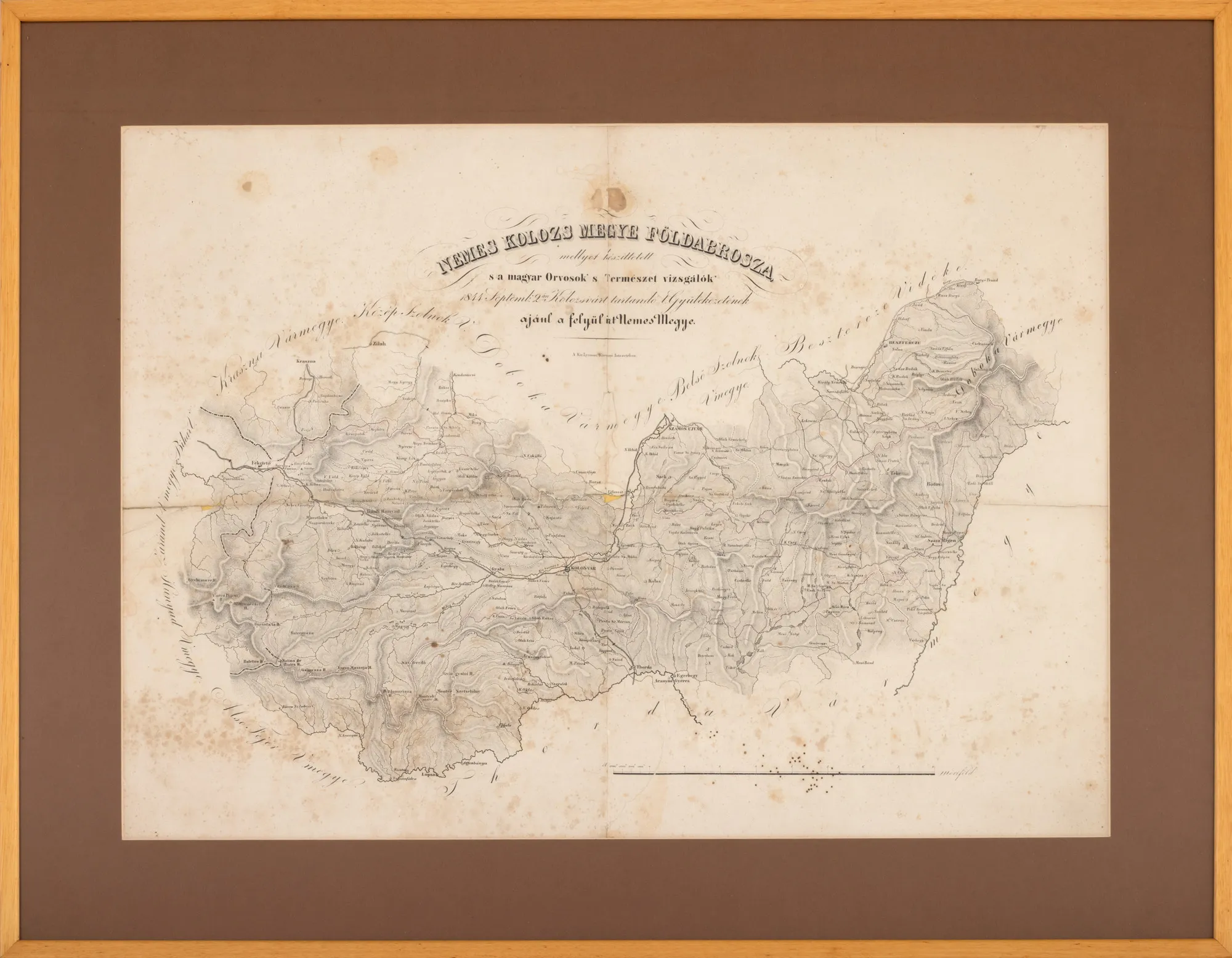
Map of the Cluj region, by Gábor Hevenesi, 1844, collection piece
The photographs of the lot are for information and guidance only and cannot provide an extremely detailed view of the object from every angle. We recommend a careful physical inspection of the lot before bidding.
Map of the Cluj region, by Gábor Hevenesi, 1844, collection piece
Price
EUR 1.800
Description
The piece is part of the work Atlas Parvus Hungariae, first published in Vienna by the Hungarian Jesuit scholar Gábor Hevenesi (1656-1715). The copy was printed in lithographic form in 1844.
Sizing
Width 64, Height 45
Medium
lithograph on paper
Location
Artmark românia
Research information
The map, courtesy of the collector, was part of the permanent exhibition at the National Museum of Old Maps and Books.