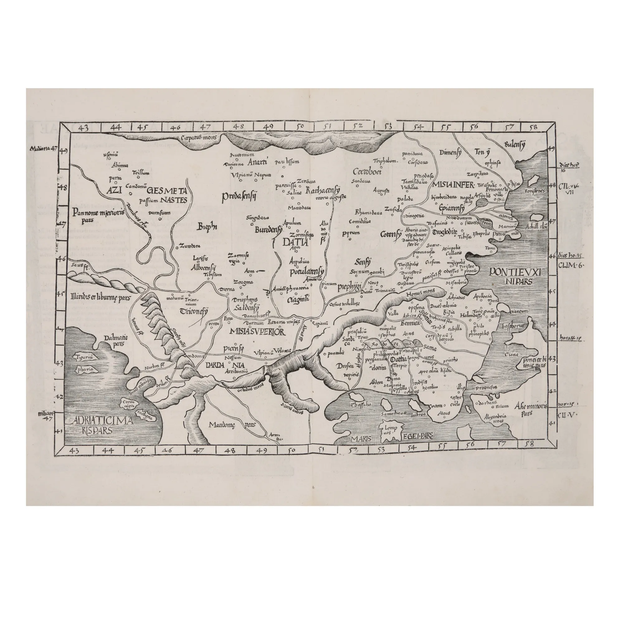

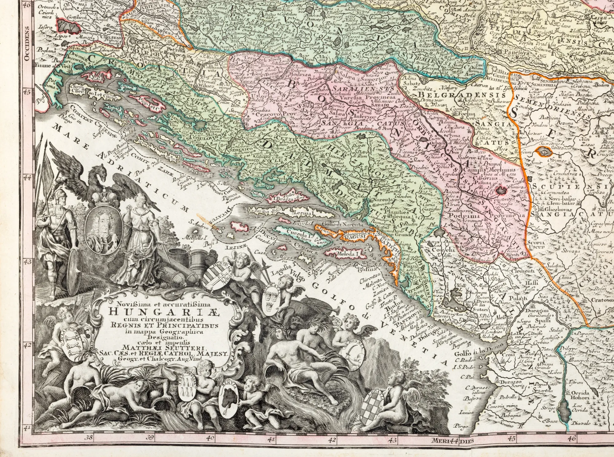
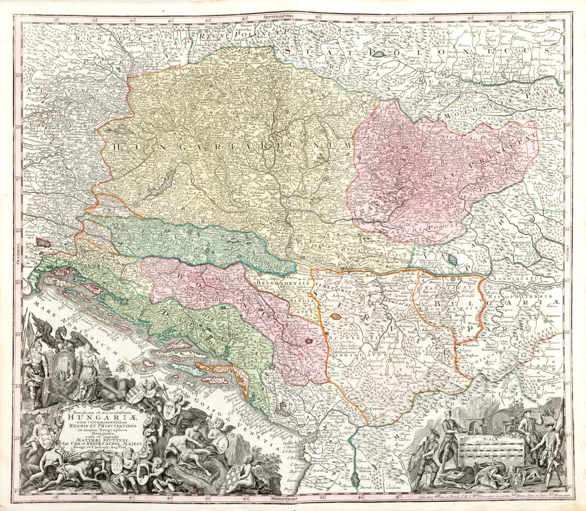
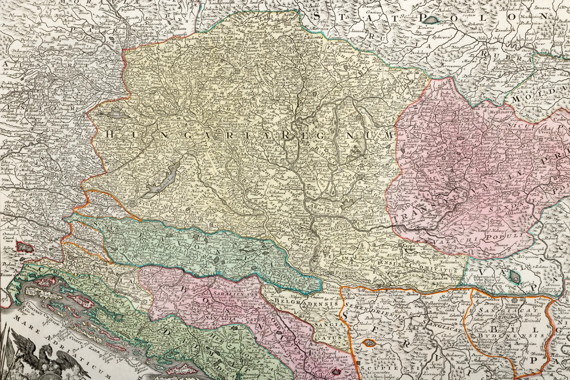
"Map 'Hungary', by Matthäus Seutter, Augsburg, cca. 1750"
The photographs of the lot are for information and guidance only and cannot provide an extremely detailed view of the object from every angle. We recommend a careful physical inspection of the lot before bidding.
"Map 'Hungary', by Matthäus Seutter, Augsburg, cca. 1750"
Price
EUR 375
Description
The German cartographer Matthäus Seutter (1678-1757) published his main work Atlas Novus Sive Tabulae Geographicae in Augsburg, in two volumes released around the year 1730. The copy is part of a slightly later edition. In the lower plan, two rich cartridges made in the form of allegories decorate the panel. Copper engraving manually colored after printing.
Sizing
Width 60, Height 53
Medium
copper engraving, striated paper, hand-colored
Location
Artmark românia