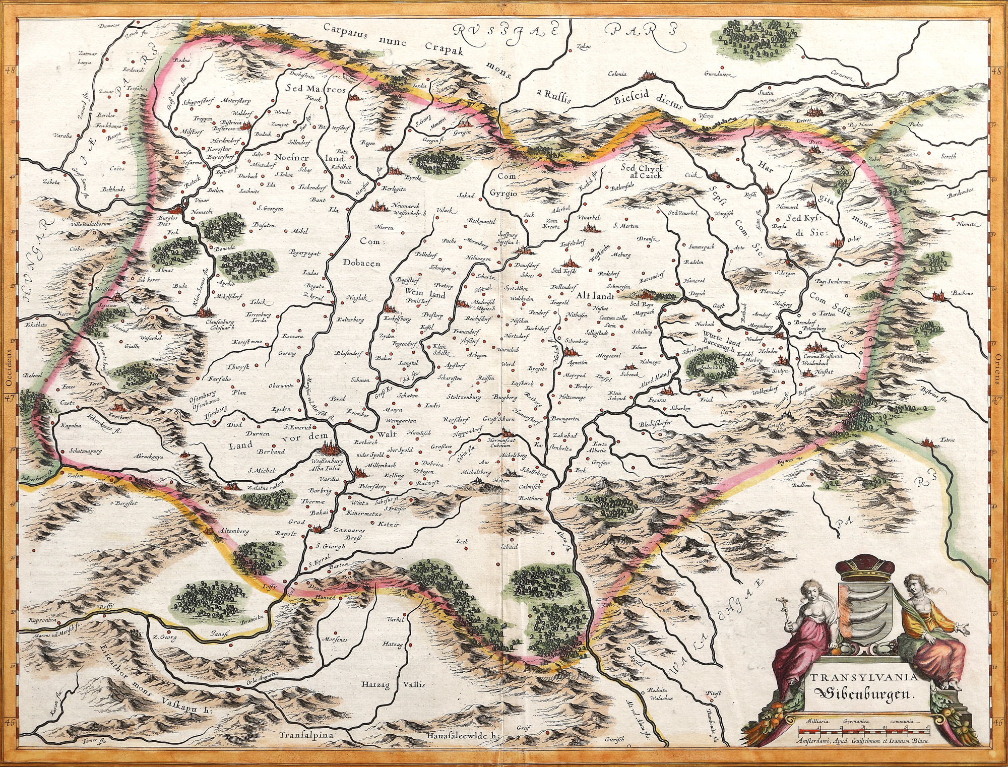
33. Map "Transylvania", by Willem Janszoon Blaeu, Amsterdam, 1636
Starting price
EUR 490
Sold
EUR 1.200
Session
Tue, 5 April 2022 19:00
Dimensions
width 49.5 cm, height 38 cm, custom 38 Ã 49,5 cm
Description
copper engraving, laid paper, hand-coloured
Research information
Novus Atlas edition.
ADDITIONAL INFORMATION
For clarifications regarding the bidding procedure, hammer price costs, guarantee, payment, and collection terms for the winning lot, we recommend carefully reading/re-reading the Bidding Regulations.
For additional information regarding the lot and the auction, please contact the Art Consultants Department.
Detalii
ADDITIONAL INFORMATION
For clarifications regarding the bidding procedure, hammer price costs, guarantee, payment, and collection terms for the winning lot, we recommend carefully reading/re-reading the Bidding Regulations.
For additional information regarding the lot and the auction, please contact the Art Consultants Department.
Dimensions
width 49.5 cm, height 38 cm, custom 38 Ã 49,5 cm
Description
copper engraving, laid paper, hand-coloured
Research information
Novus Atlas edition.
Similar lots
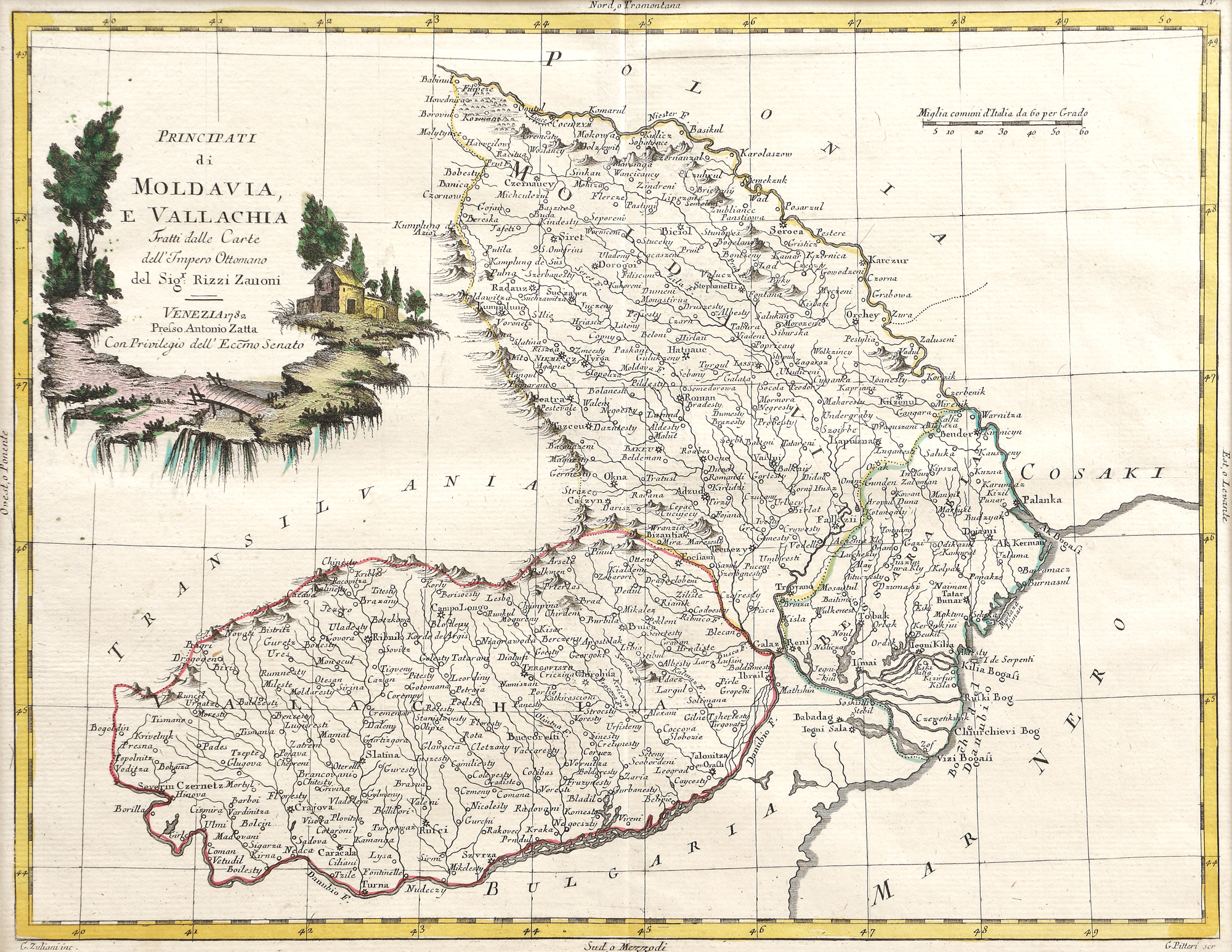
42. Map "Principalities of Moldova and Wallachia", by Rizzi Zanoni, Venice, 1782
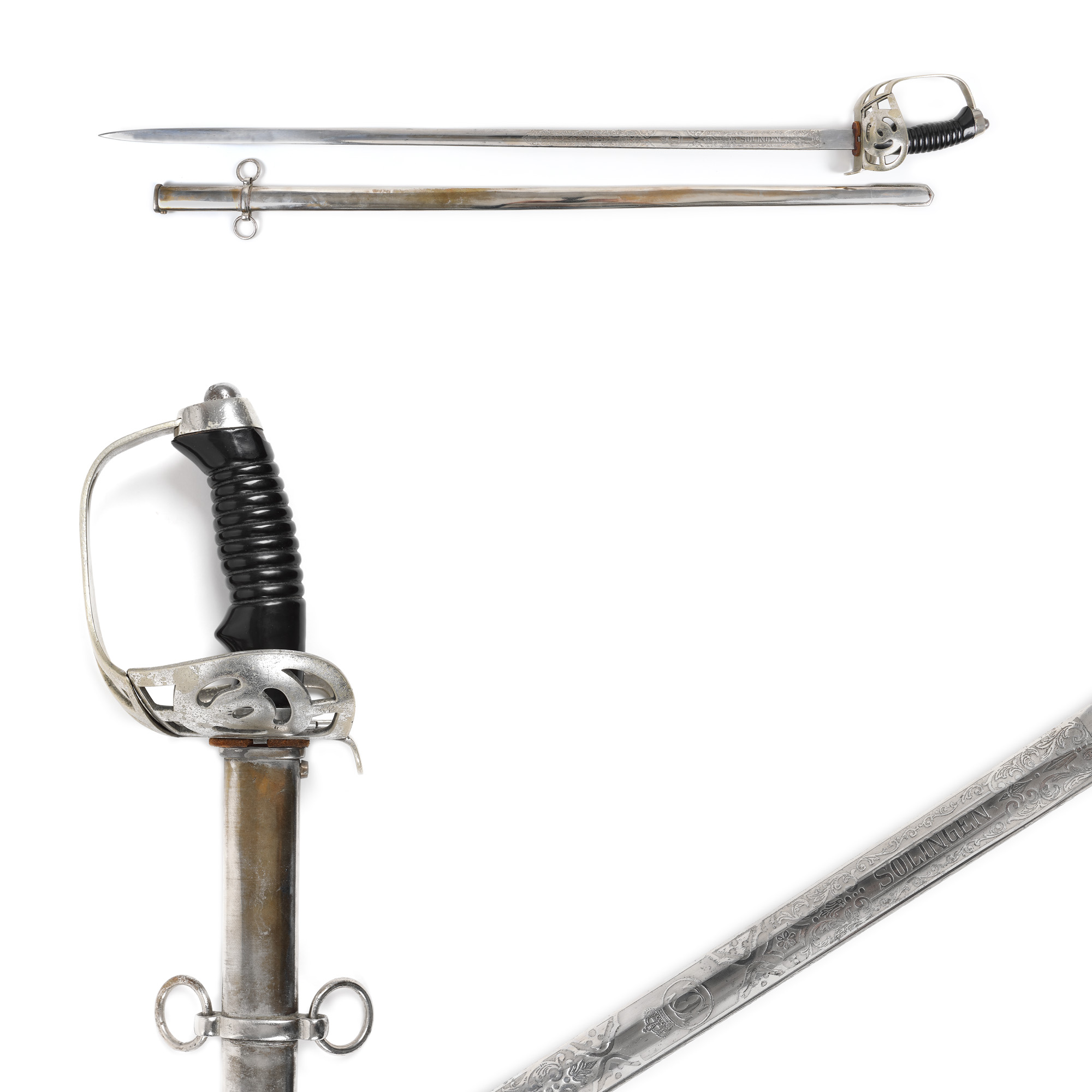
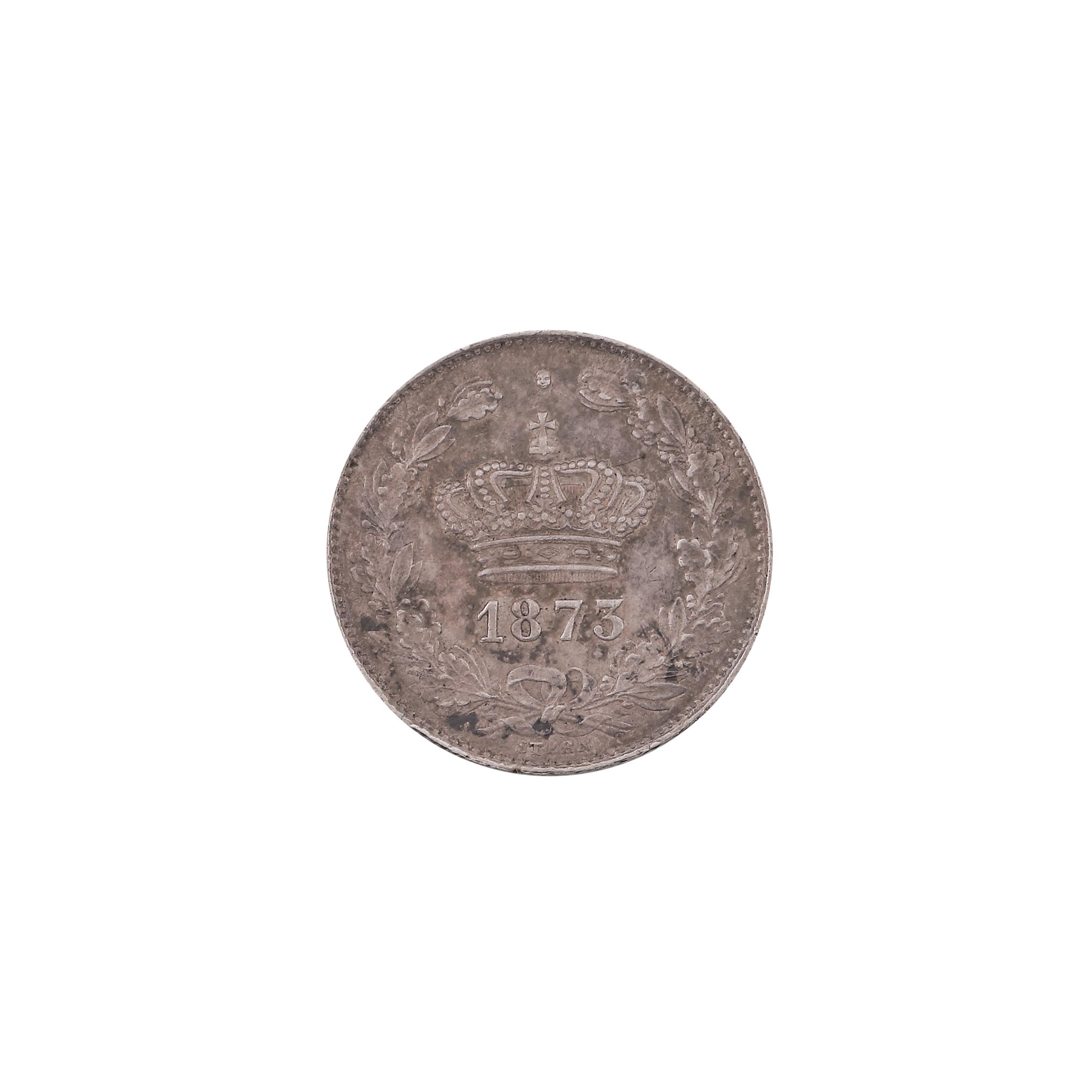
11. Officer's sword, bearing the cipher of King Carol II, with sheath