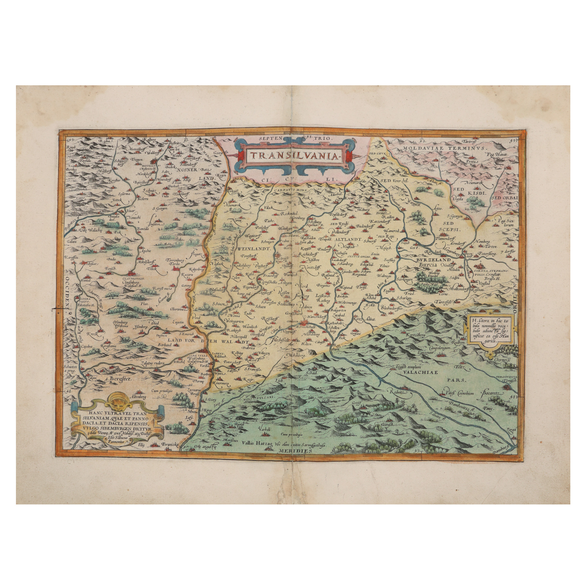
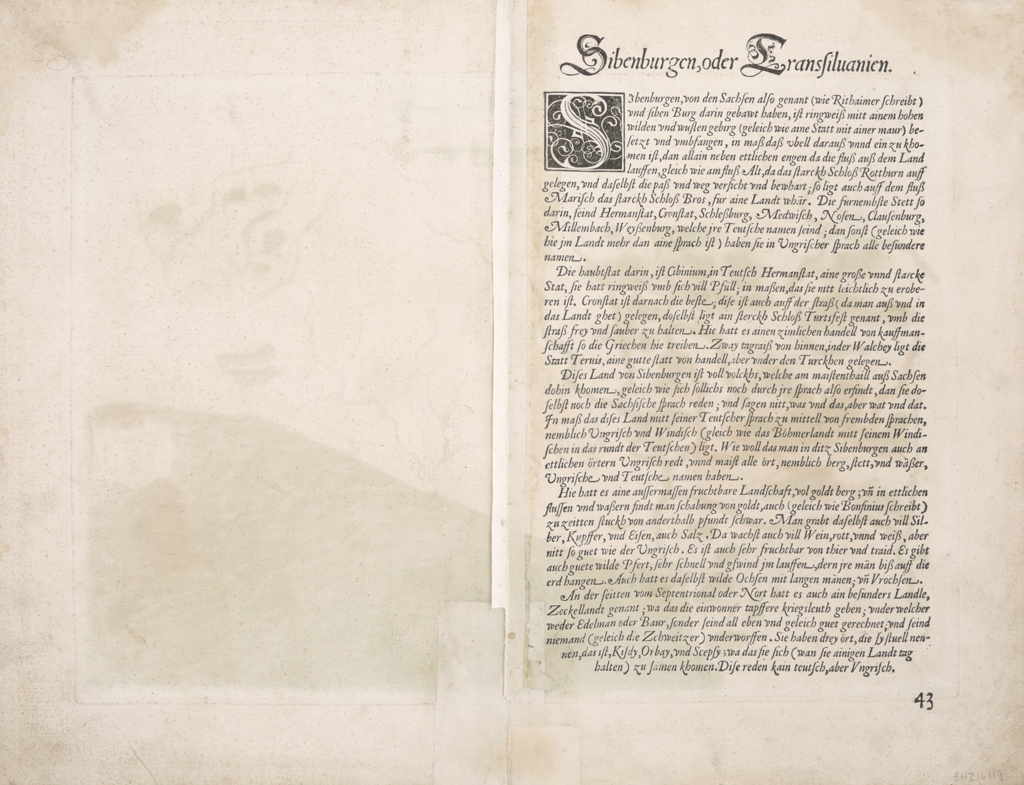
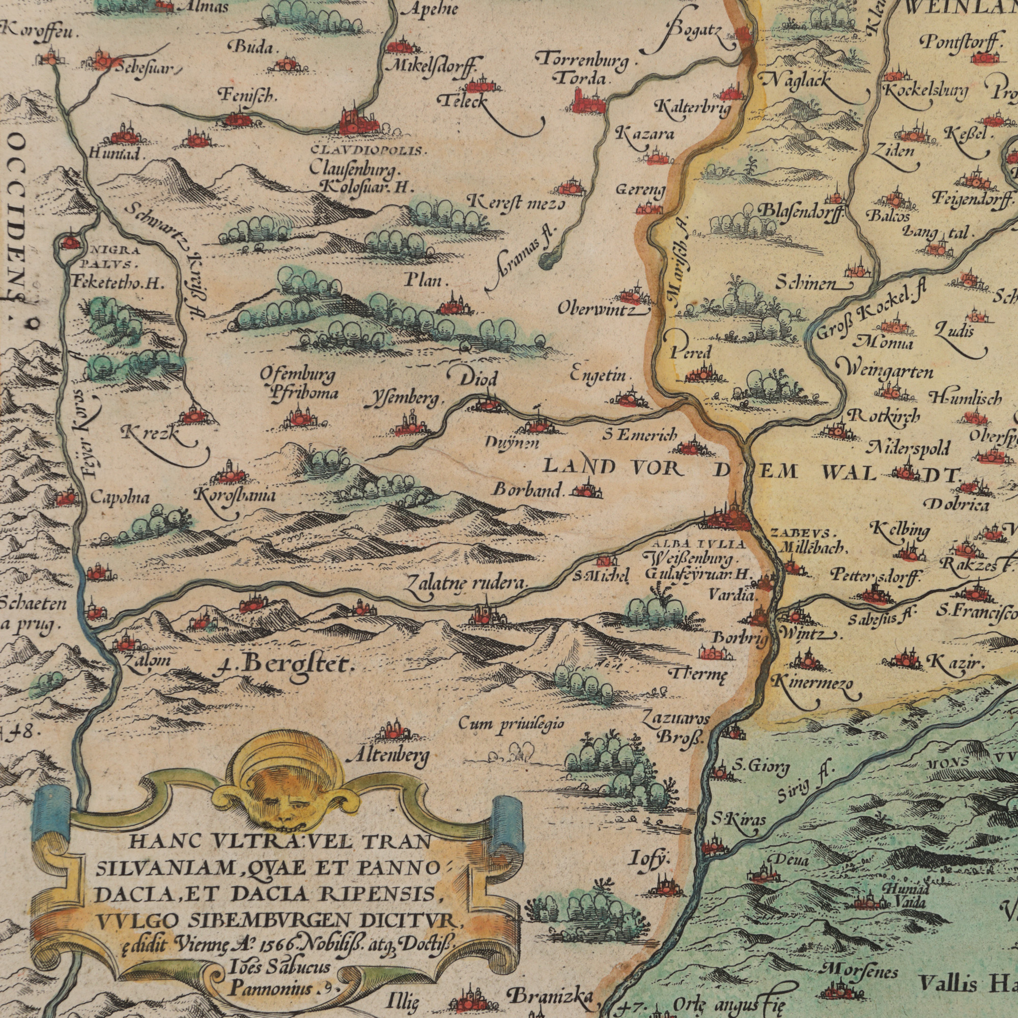
184. "Transylvania" Map, by Johannes Sambucus (Janos Zsamboky), printed by Abraham Ortelius, Orbis Terrarum edition, Antwerp, 1566
Starting price
EUR 350
Sold
EUR 400
Session
Tue, 26 March 2024 19:00
Dimensions
custom 44 x 31 cm
Description
copper engraving, laid paper, hand colored
ADDITIONAL INFORMATION
For clarifications regarding the bidding procedure, hammer price costs, guarantee, payment, and collection terms for the winning lot, we recommend carefully reading/re-reading the Bidding Regulations.
For additional information regarding the lot and the auction, please contact the Art Consultants Department.
Detalii
ADDITIONAL INFORMATION
For clarifications regarding the bidding procedure, hammer price costs, guarantee, payment, and collection terms for the winning lot, we recommend carefully reading/re-reading the Bidding Regulations.
For additional information regarding the lot and the auction, please contact the Art Consultants Department.
Dimensions
custom 44 x 31 cm
Description
copper engraving, laid paper, hand colored
Similar lots
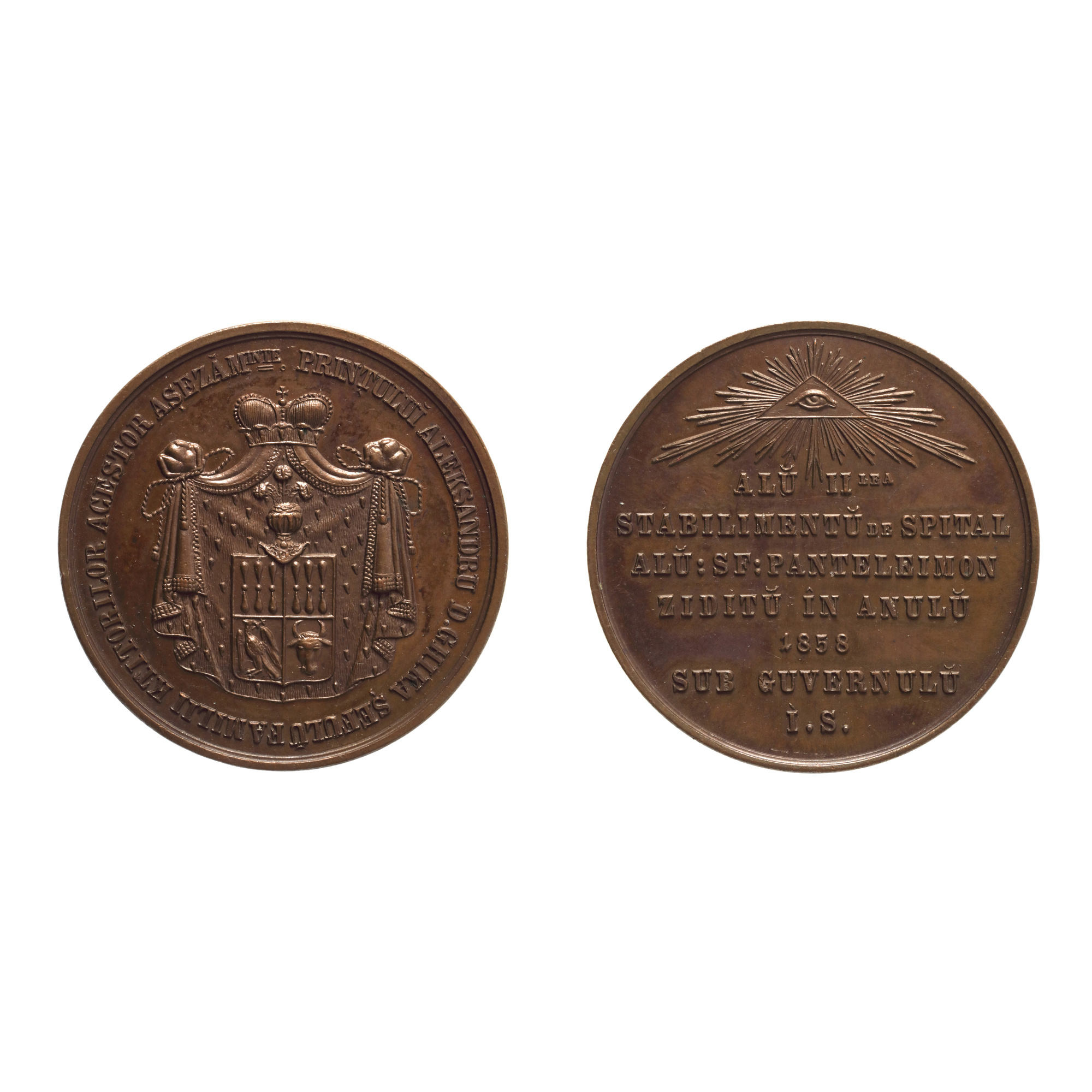
223. Medal of St. Pantelimon Hospital built under Alexandru Dimitrie Ghika, 1858
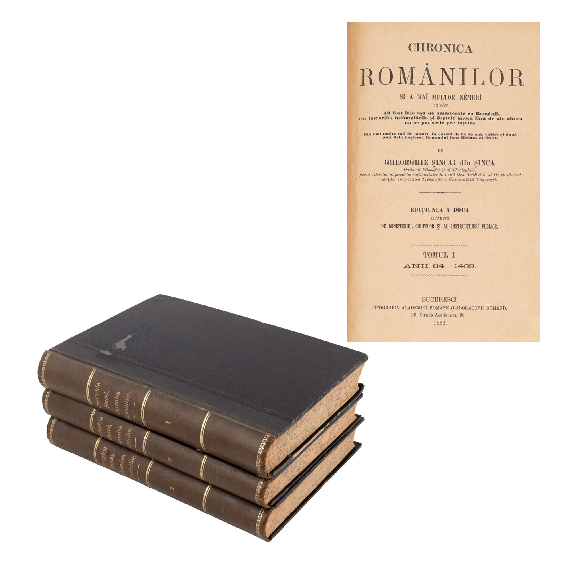
121. "Gheorghe Șincai's 'Chronica românilor', three volumes, Bucharest, 1886"