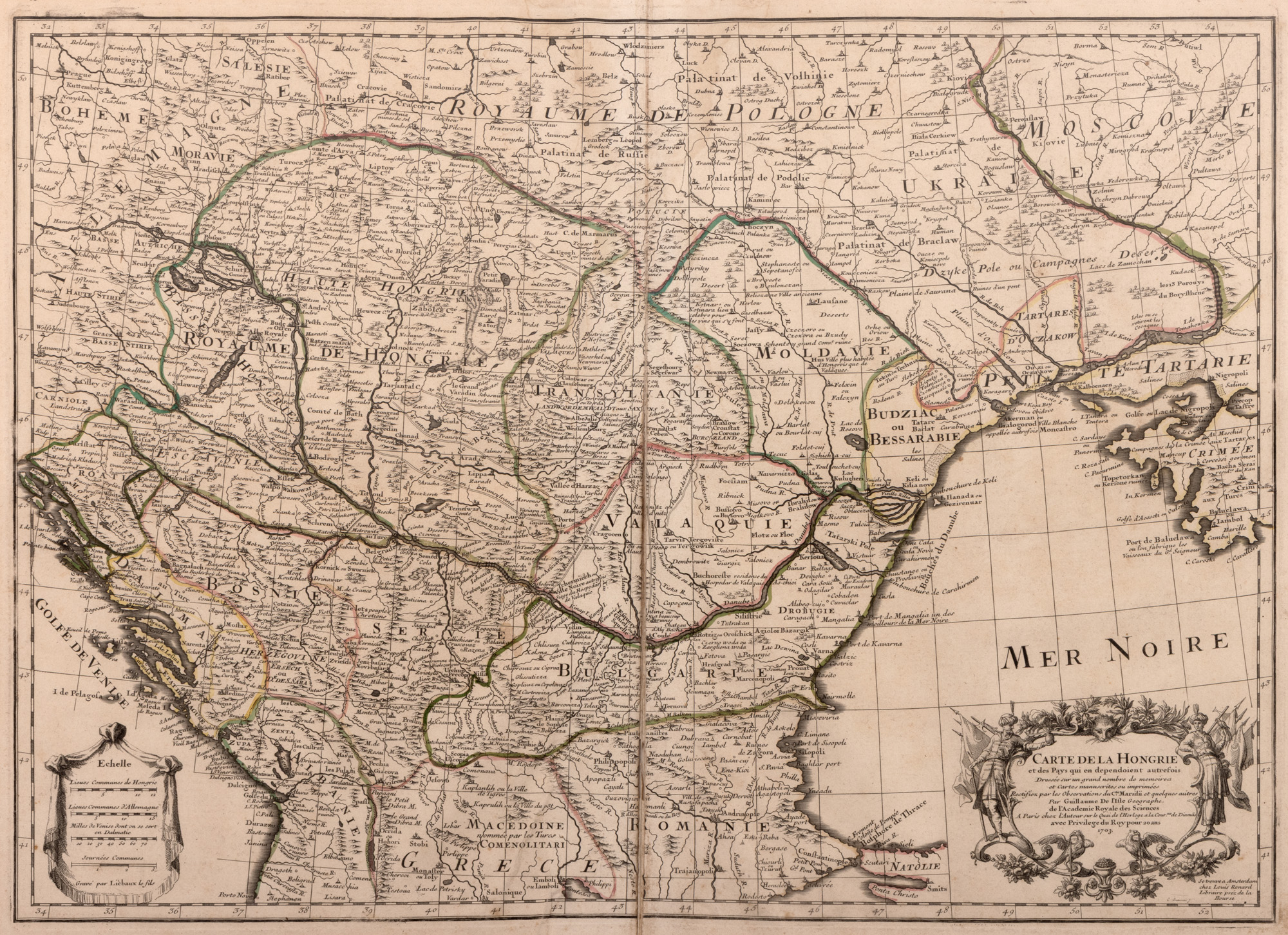
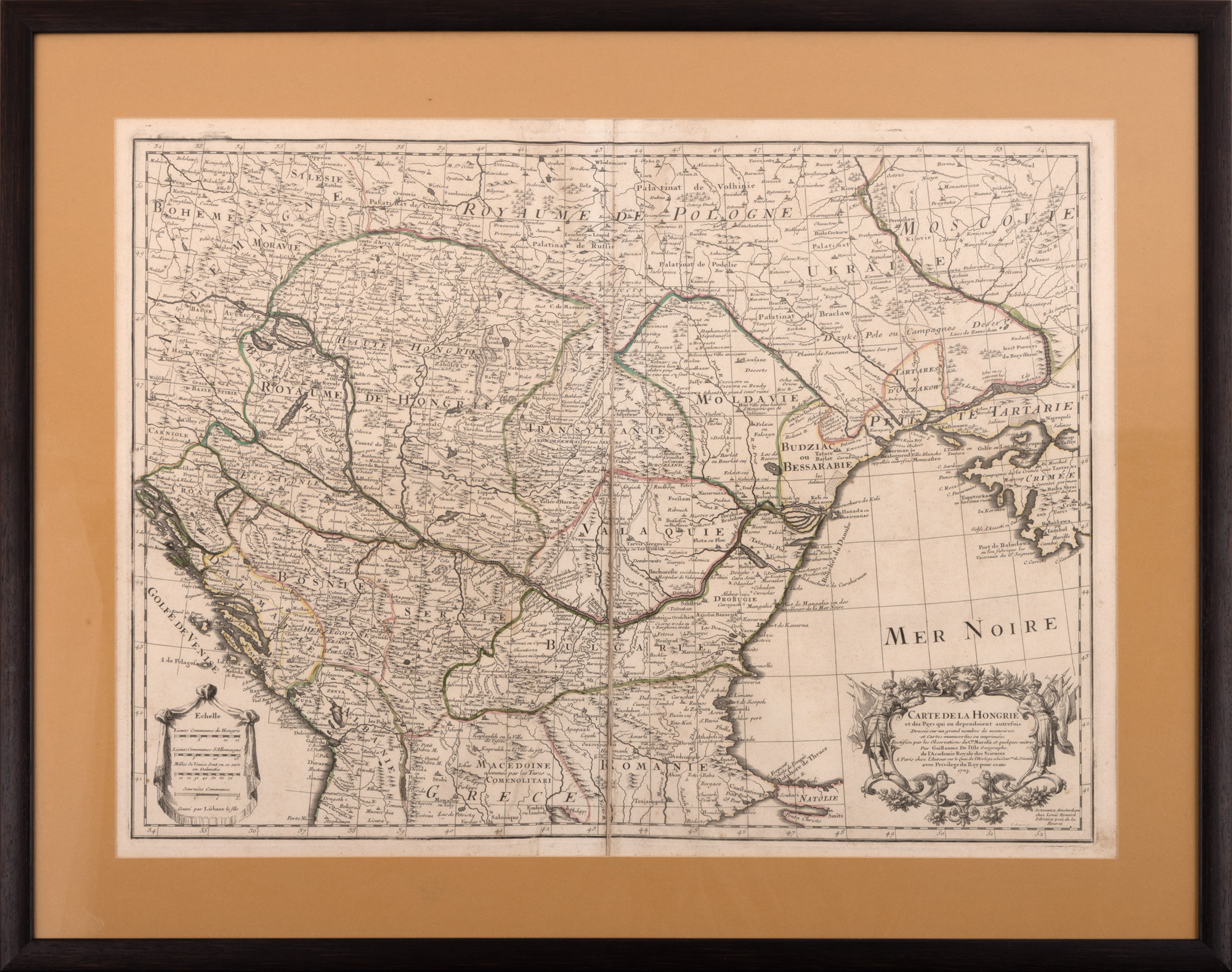
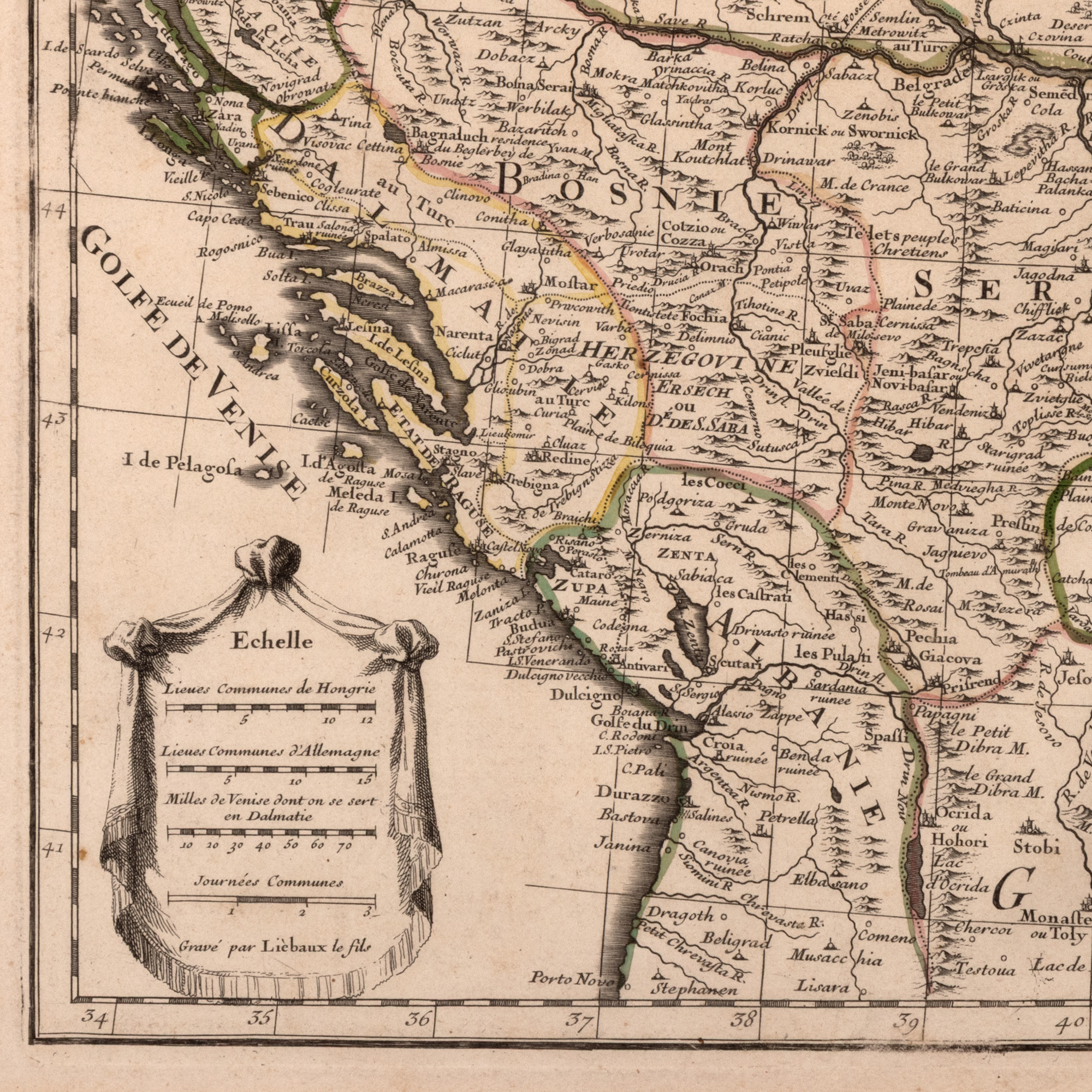
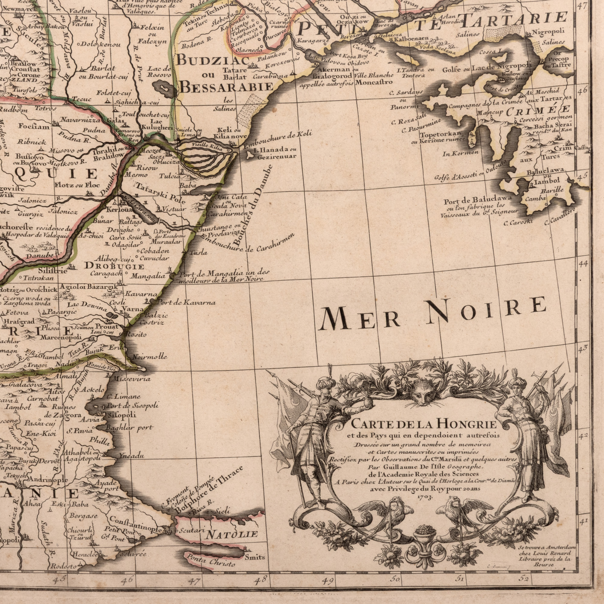
84. "Map 'Hungary', by Guillaume de L'Isle, Paris, 1780"
Starting price
EUR 100
Sold
EUR 250
Session
Tue, 31 March 2026 18:00
Dimensions
width 70 cm, height 50 cm
Description
copper engraving, striated paper, manually colored
ADDITIONAL INFORMATION
For clarifications regarding the bidding procedure, hammer price costs, guarantee, payment, and collection terms for the winning lot, we recommend carefully reading/re-reading the Bidding Regulations.
For additional information regarding the lot and the auction, please contact the Art Consultants Department.
Detalii
ADDITIONAL INFORMATION
For clarifications regarding the bidding procedure, hammer price costs, guarantee, payment, and collection terms for the winning lot, we recommend carefully reading/re-reading the Bidding Regulations.
For additional information regarding the lot and the auction, please contact the Art Consultants Department.
Dimensions
width 70 cm, height 50 cm
Description
copper engraving, striated paper, manually colored
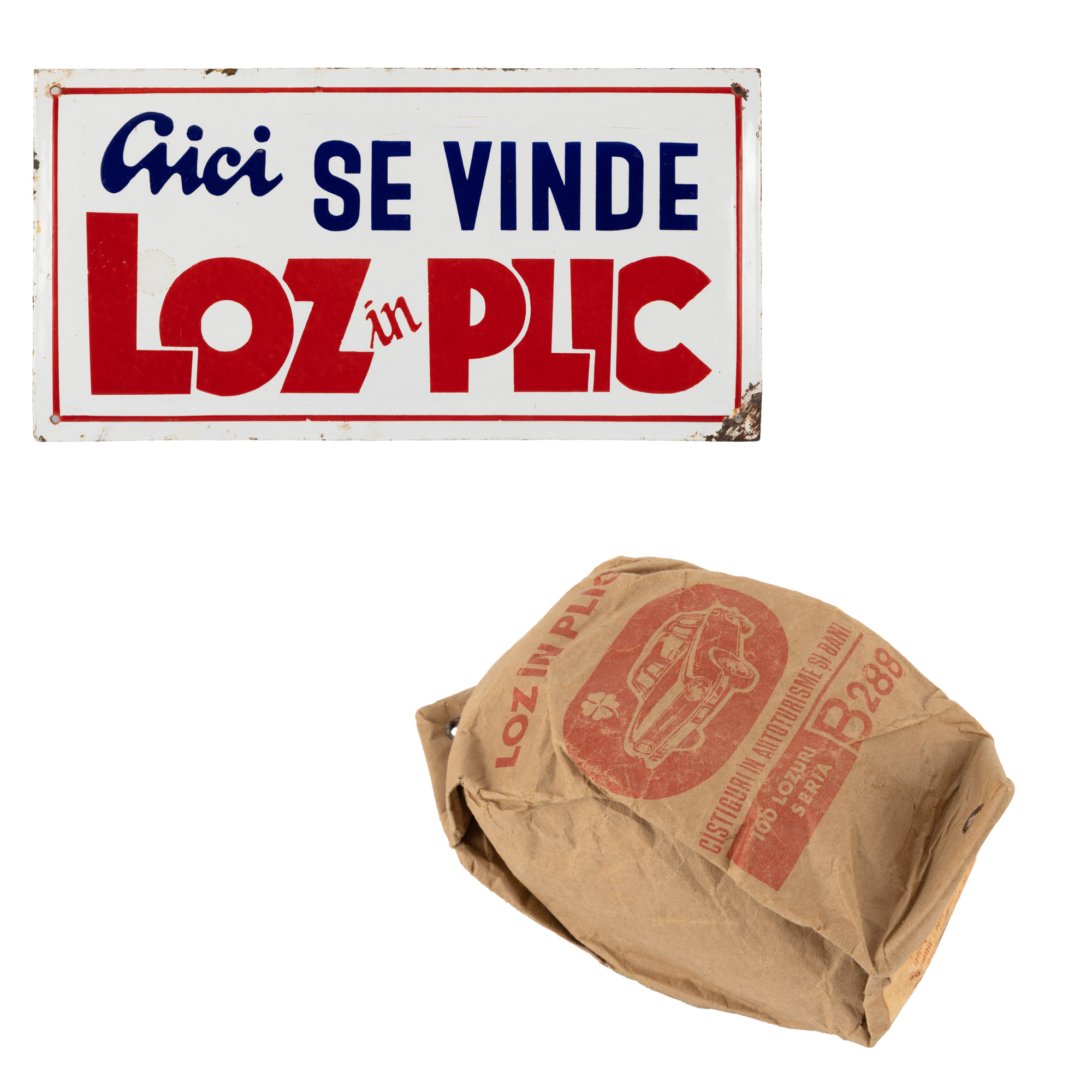
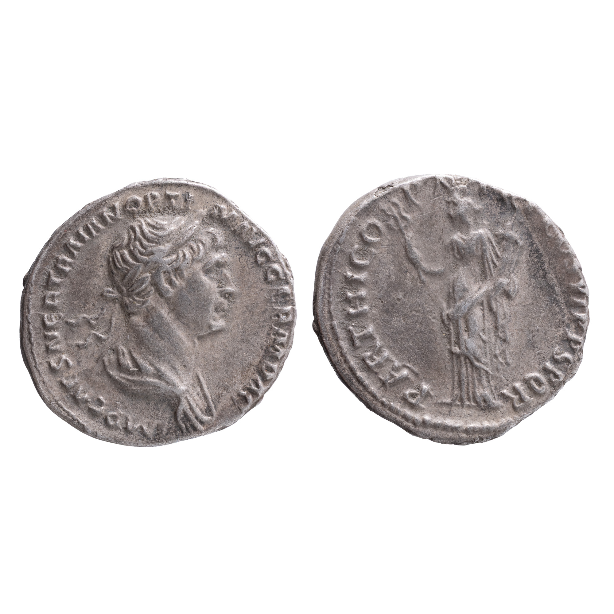
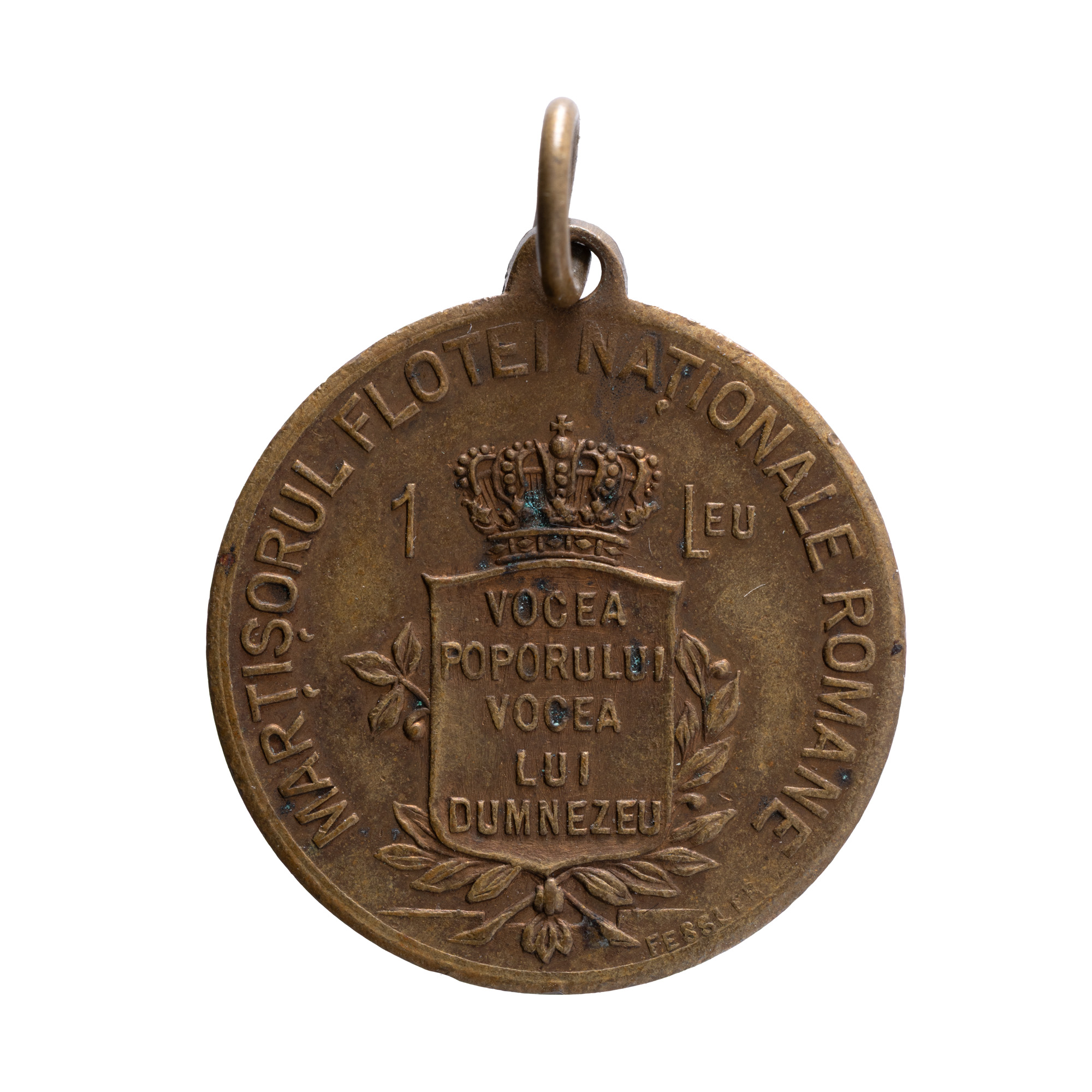
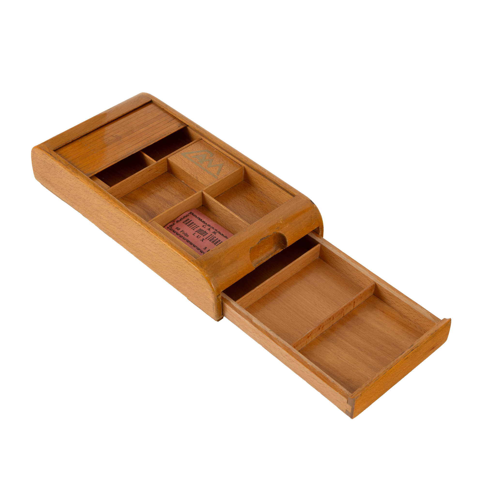
Similar lots