
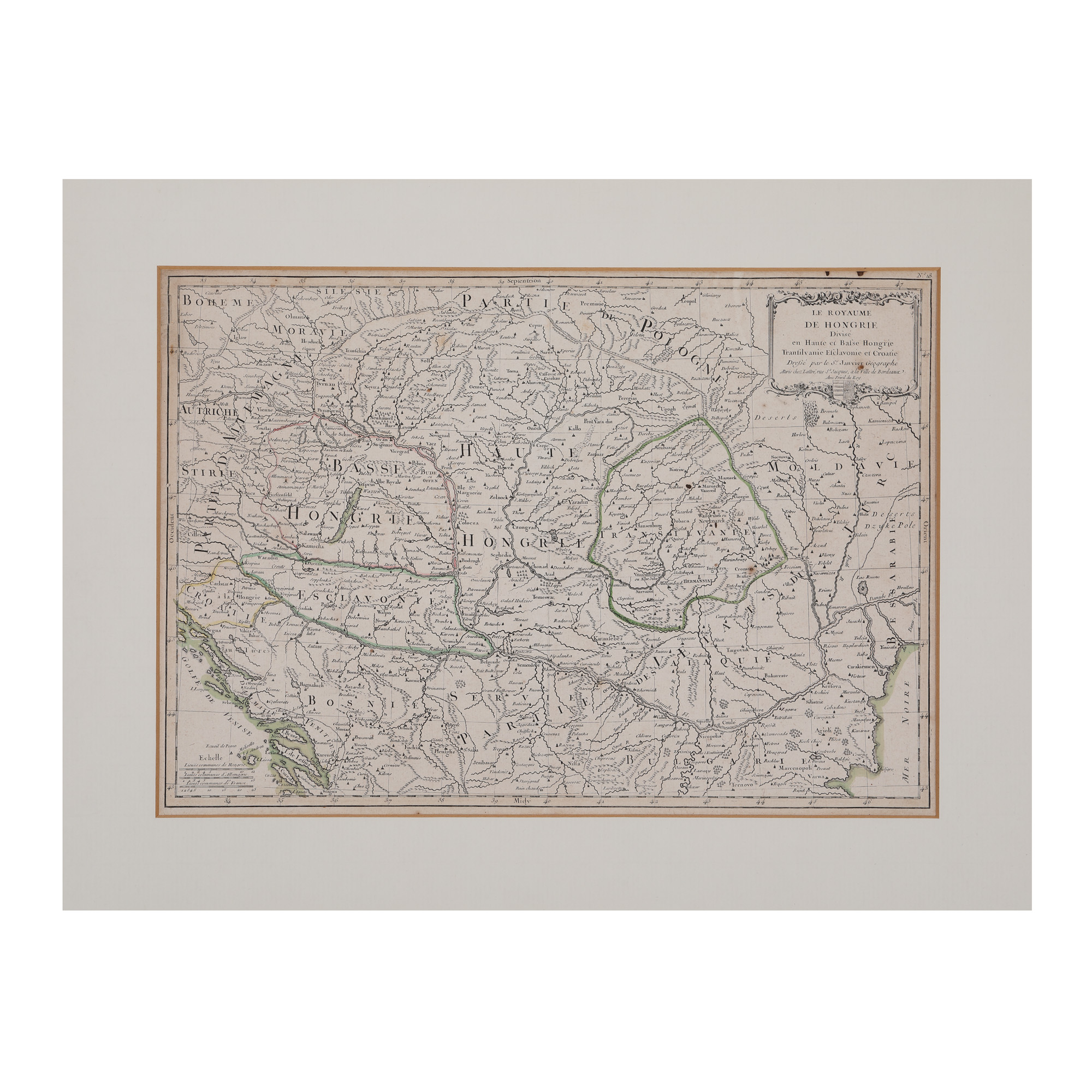
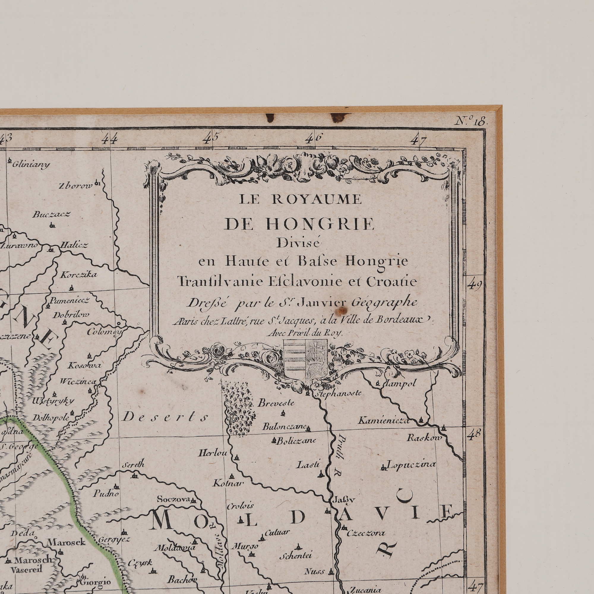
186. "Kingdom of Hungary divided into Upper and Lower Hungary, Transylvania, Esclavonia and Croatia" map by Jean Janvier, Paris, approximately 1780
The photos of the lot are informative and indicative, and cannot provide a highly detailed view of the object from all angles. We recommend a careful physical inspection of the lot before bidding.
186. "Kingdom of Hungary divided into Upper and Lower Hungary, Transylvania, Esclavonia and Croatia" map by Jean Janvier, Paris, approximately 1780
Not sold
Selling price
EUR 225
copper engraving, laid paper, hand-coloured, 45 x 32 cm, 45 Ã 32 cm
This map is part of the work Atlas Moderne, published in 1770 in Paris by the French cartographer Jean Janvier (1746-1779). The map covers the northern and southern parts of Hungary, including Transylvania, as well as parts of Bosnia, Bulgaria, Moldova and Wallachia. Specialists have disagreed on the scholar's surname, so he is mentioned either as Jean or Robert, because he always signed his works as S(igno)r Janvier. Engraving on copper, manually coloured after imprinting.
For clarifications regarding the bidding procedure, hammer price costs, guarantee, payment, and collection terms for the winning lot, we recommend carefully reading/re-reading the Bidding Regulations.
For additional information regarding the lot and the auction, please contact the Art Consultants Department.
SESSION
Similar lots
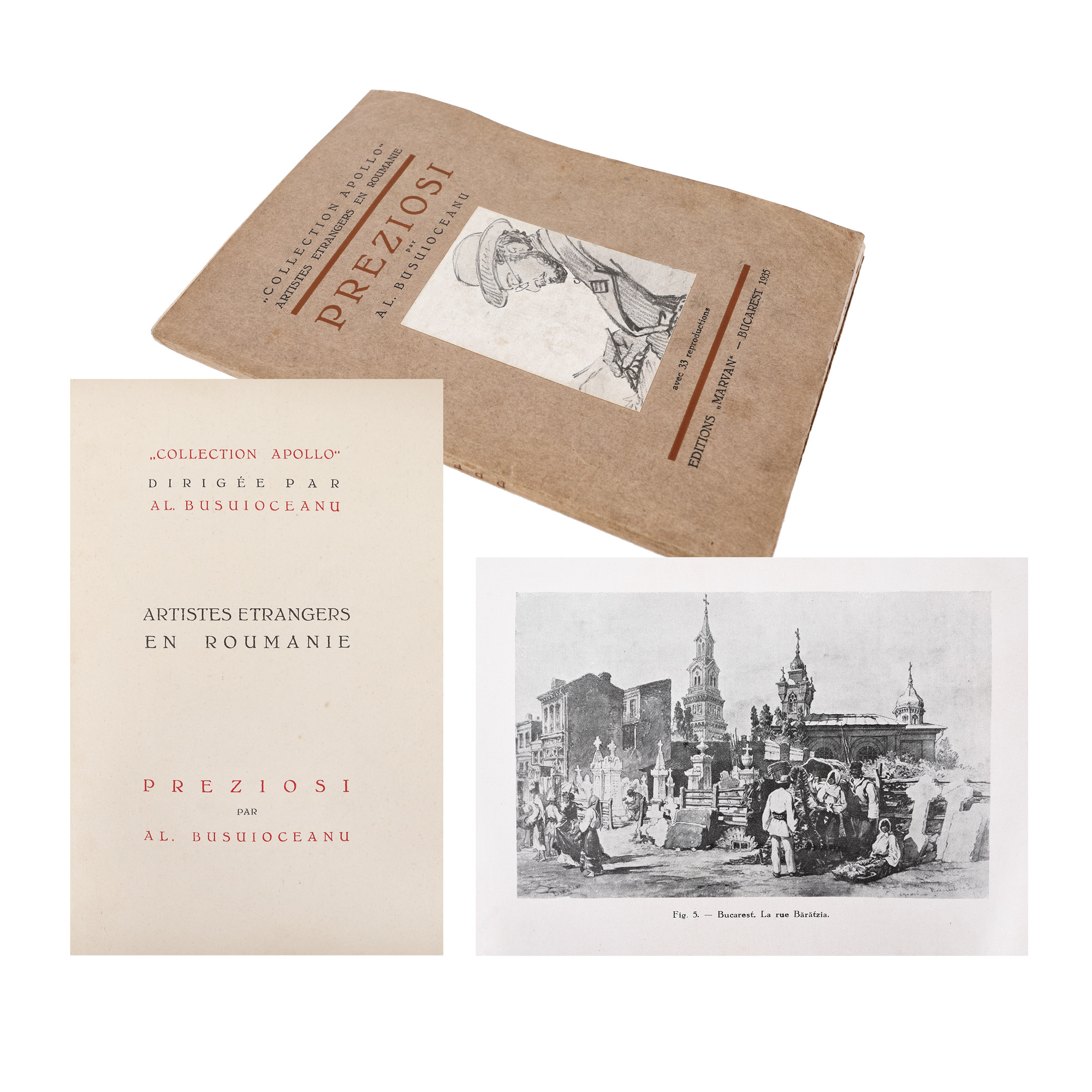
288. "Preziosi", by Alexandru Busuioceanu, French, Bucharest, 1935, from the collection of literary critic Șerban Cioculescu
Starting price:
EUR 35
Sold
EUR 35