


The photos of the lot are informative and indicative, and cannot provide a highly detailed view of the object from all angles. We recommend a careful physical inspection of the lot before bidding.
The photos of the lot are informative and indicative, and cannot provide a highly detailed view of the object from all angles. We recommend a careful physical inspection of the lot before bidding.
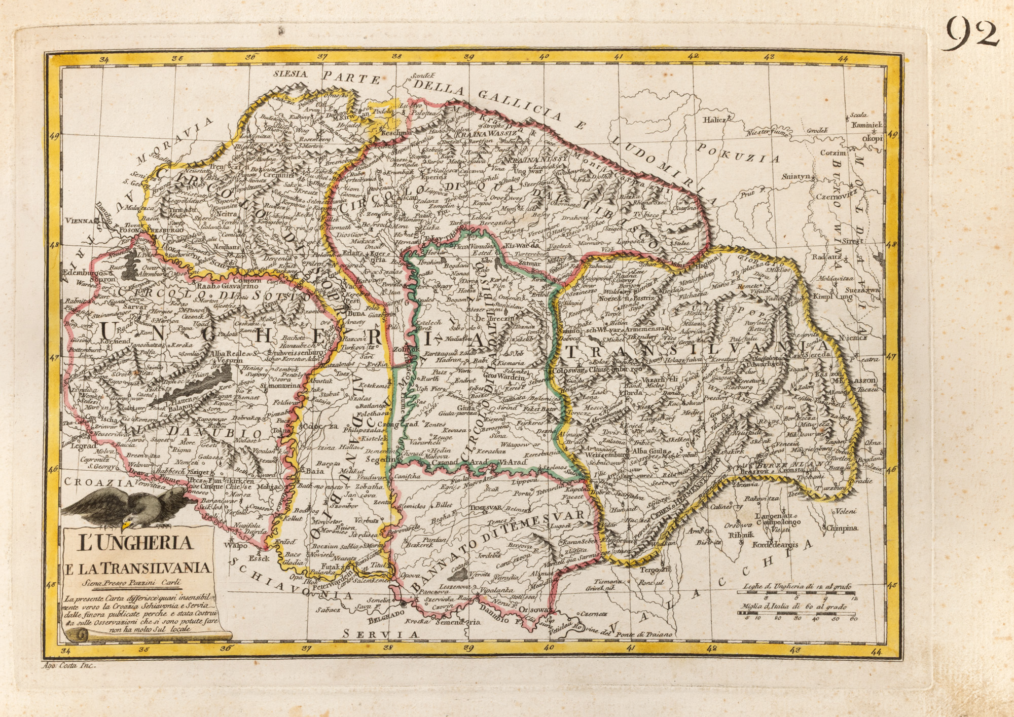
199. Map "Hungary and Transylvania", by Pazzini Carli, Siena, 1789
Starting price
Pretul de pornire si cel estimat nu sunt preturi de vanzare efective
EUR 150
Session
Wed, 1 July 2026 19:00
0 Zile, 16 Ore, 29 Minute
Time remaining until live auction starts
Brought to you by
Published in Siena in 1789 by the prestigious Pazzini Carli publishing house, the map "L’Ungheria e la Transilvania" provides a detailed and extensive view of Central and Southeast Europe at the end of the eighteenth century. The piece combines the accuracy of geographic information with the graphic elegance of old Italian cartography, being equally a historical document, a piece of graphic art, and a decorative object.
The composition is dominated by the territories of the Kingdom of Hungary and Transylvania, the latter being individualized by the large inscription "TRANSILVANIA". Other regions such as Timisoara's Banat, Croatia, Slavonia, Serbia, Moldova, and Wallachia are represented, along with neighboring regions of Austria, Moravia, Silesia, Galicia, and Poland. The map thus captures a vast political, military, and cultural interference space, whose borders and administrative structures would be profoundly transformed in the following centuries.
Transylvania is depicted with remarkable density information. The Carpathian Mountains are pictorially portrayed, and the main rivers, towns, and roads structure the interior of the province. You can identify centers such as Cluj, Alba Iulia, Sibiu, Brasov, Bistrita, and Oradea, and numerous smaller settlements, some maintaining historical forms of their names. Thus, the contemporary viewer is given the opportunity to rediscover the familiar geography of Transylvania through the eyes of an Italian cartographer from the Age of Enlightenment.
The borders are highlighted by a contemporary manual coloring, executed in shades of yellow, pink, green, and red. The application of color not only has an aesthetic role but facilitates the distinction between provinces and territorial subdivisions while providing the work with brightness and dynamism. The yellow frame, graduated in longitude and latitude, strictly closes the composition, and the specific texture of the laid paper preserves the authenticity and charm of the era's prints.
In the lower left corner, the title "L’UNGHERIA E LA TRANSILVANIA" is accompanied by the editorial mention "Siena Presso Pazzini Carli" and a brief explanatory note in Italian. Above the title appears the representation of a bird of prey, a subtle figurative element that animates the cartographic registry and refers to the fauna and landscape of the region. Also in the bottom part is the visible signature of the engraver Agostino Costa, responsible for transferring the design to the copper plate.
The map was made at a significant historical moment, at the end of Emperor Joseph II's reign when the territories of the Habsburg Monarchy were undergoing a broad administrative reorganization and reform process. Transylvania is depicted as a separate province, clearly delimitated from Hungary and Timisoara's Banat, while Wallachia and Moldova are represented at the eastern edge of the composition, near the area controlled by the Ottoman Empire. The piece thus retains the political and geographical image of the region before the major changes brought about by the 19th and 20th centuries.
With the clarity of its drawing, the richness of toponyms, and delicate manual coloring, the work appeals not only to cartography collectors but also to those passionate about Transylvania's history, genealogy, travel, graphic art, and Central European culture. For those whose origins are linked to one of the depicted places, the map may also acquire a personal dimension, becoming a visual bridge to familial geography from over two centuries ago.
Elegant and easy to integrate into a library, an office, or a contemporary interior, the map combines the historical value of the document with the refinement of an authentic decorative piece. It is an image of Transylvania from the year 1789, meticulously preserved on paper, and brought to life through color by an artist of the era.
Dimensions
custom 28 x 38.5 cm
Description
hand-colored copper engraving
ADDITIONAL INFORMATION
For clarifications regarding the bidding procedure, hammer price costs, guarantee, payment, and collection terms for the winning lot, we recommend carefully reading/re-reading the Bidding Regulations.
For additional information regarding the lot and the auction, please contact the Art Consultants Department.
Detalii
Published in Siena in 1789 by the prestigious Pazzini Carli publishing house, the map "L’Ungheria e la Transilvania" provides a detailed and extensive view of Central and Southeast Europe at the end of the eighteenth century. The piece combines the accuracy of geographic information with the graphic elegance of old Italian cartography, being equally a historical document, a piece of graphic art, and a decorative object.
The composition is dominated by the territories of the Kingdom of Hungary and Transylvania, the latter being individualized by the large inscription "TRANSILVANIA". Other regions such as Timisoara's Banat, Croatia, Slavonia, Serbia, Moldova, and Wallachia are represented, along with neighboring regions of Austria, Moravia, Silesia, Galicia, and Poland. The map thus captures a vast political, military, and cultural interference space, whose borders and administrative structures would be profoundly transformed in the following centuries.
Transylvania is depicted with remarkable density information. The Carpathian Mountains are pictorially portrayed, and the main rivers, towns, and roads structure the interior of the province. You can identify centers such as Cluj, Alba Iulia, Sibiu, Brasov, Bistrita, and Oradea, and numerous smaller settlements, some maintaining historical forms of their names. Thus, the contemporary viewer is given the opportunity to rediscover the familiar geography of Transylvania through the eyes of an Italian cartographer from the Age of Enlightenment.
The borders are highlighted by a contemporary manual coloring, executed in shades of yellow, pink, green, and red. The application of color not only has an aesthetic role but facilitates the distinction between provinces and territorial subdivisions while providing the work with brightness and dynamism. The yellow frame, graduated in longitude and latitude, strictly closes the composition, and the specific texture of the laid paper preserves the authenticity and charm of the era's prints.
In the lower left corner, the title "L’UNGHERIA E LA TRANSILVANIA" is accompanied by the editorial mention "Siena Presso Pazzini Carli" and a brief explanatory note in Italian. Above the title appears the representation of a bird of prey, a subtle figurative element that animates the cartographic registry and refers to the fauna and landscape of the region. Also in the bottom part is the visible signature of the engraver Agostino Costa, responsible for transferring the design to the copper plate.
The map was made at a significant historical moment, at the end of Emperor Joseph II's reign when the territories of the Habsburg Monarchy were undergoing a broad administrative reorganization and reform process. Transylvania is depicted as a separate province, clearly delimitated from Hungary and Timisoara's Banat, while Wallachia and Moldova are represented at the eastern edge of the composition, near the area controlled by the Ottoman Empire. The piece thus retains the political and geographical image of the region before the major changes brought about by the 19th and 20th centuries.
With the clarity of its drawing, the richness of toponyms, and delicate manual coloring, the work appeals not only to cartography collectors but also to those passionate about Transylvania's history, genealogy, travel, graphic art, and Central European culture. For those whose origins are linked to one of the depicted places, the map may also acquire a personal dimension, becoming a visual bridge to familial geography from over two centuries ago.
Elegant and easy to integrate into a library, an office, or a contemporary interior, the map combines the historical value of the document with the refinement of an authentic decorative piece. It is an image of Transylvania from the year 1789, meticulously preserved on paper, and brought to life through color by an artist of the era.
ADDITIONAL INFORMATION
For clarifications regarding the bidding procedure, hammer price costs, guarantee, payment, and collection terms for the winning lot, we recommend carefully reading/re-reading the Bidding Regulations.
For additional information regarding the lot and the auction, please contact the Art Consultants Department.
Dimensions
custom 28 x 38.5 cm
Description
hand-colored copper engraving
Brought to you by
Similar lots
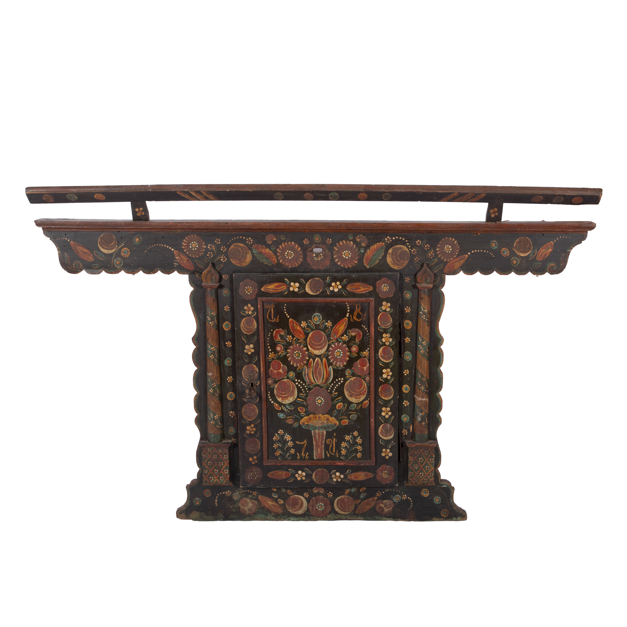
61. Wall-mounted Saxon cupboard, Sibiu, dated 1871
Starting price
EUR 500
0 Zile, 16 Ore, 29 Minute
Time remaining until live auction starts
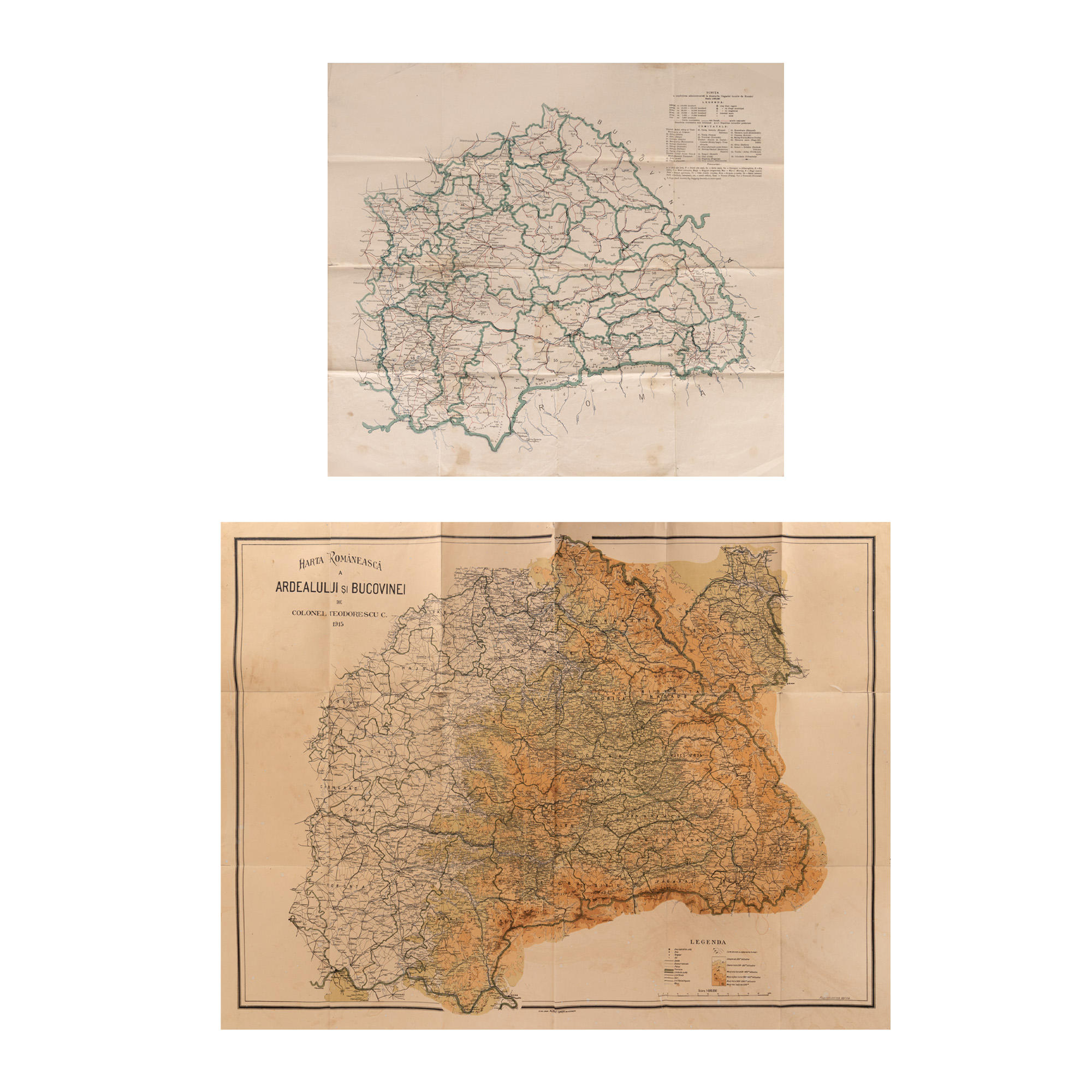
203. Lot consisting of the Romanian map of Transylvania and Bukovina, by Colonel Constantin Theodorescu, 1915, and a map "Sketch with administrative division in the territories of Hungary inhabited by Romanians", pre-war period, coming from the archive of Remus Caracaș.
Starting price
EUR 50
0 Zile, 16 Ore, 29 Minute
Time remaining until live auction starts
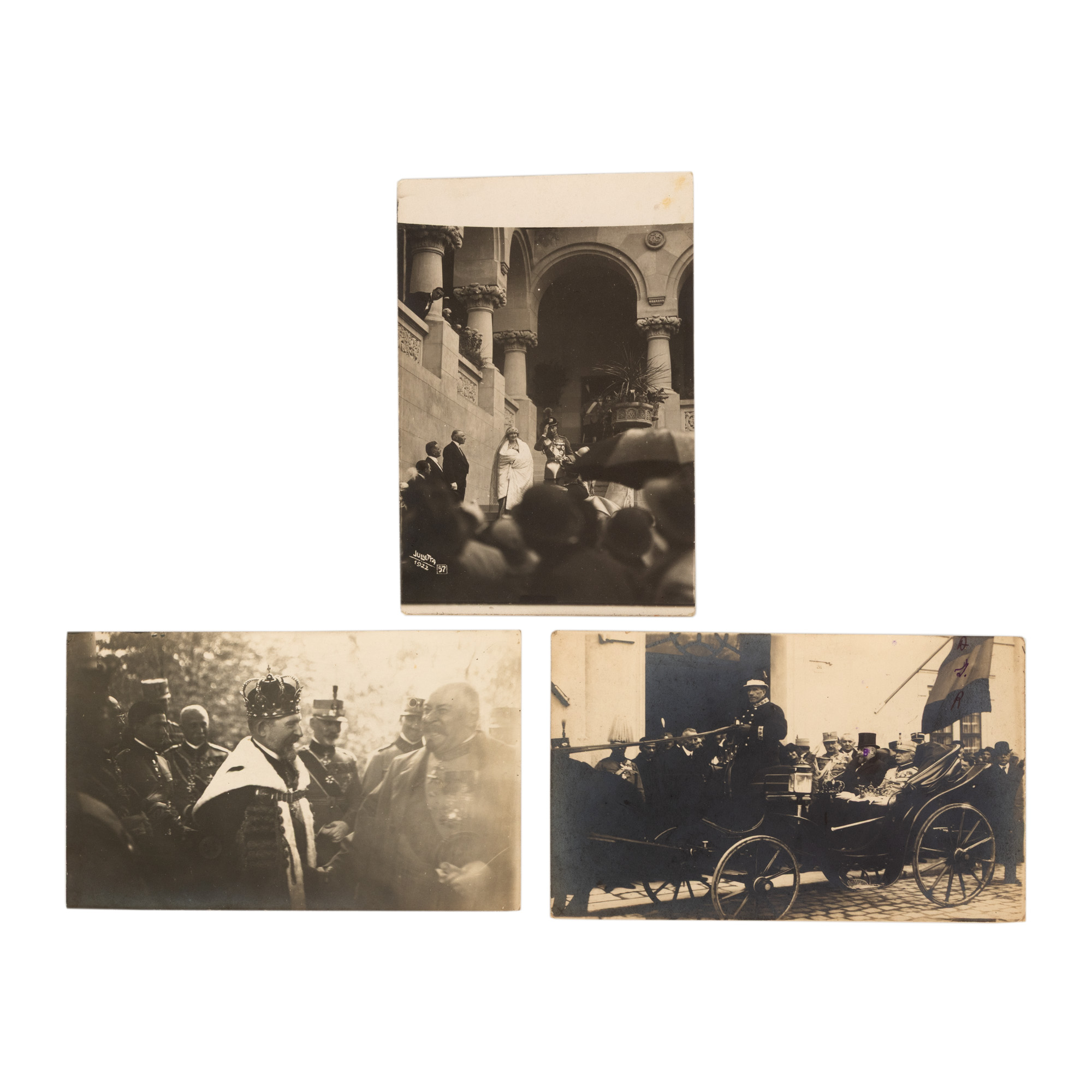
248. Lot consisting of three photos illustrating the Coronation Celebration at Alba Iulia, Julietta Photography Studio, Bucharest, 1922
Starting price
EUR 200
0 Zile, 16 Ore, 29 Minute
Time remaining until live auction starts
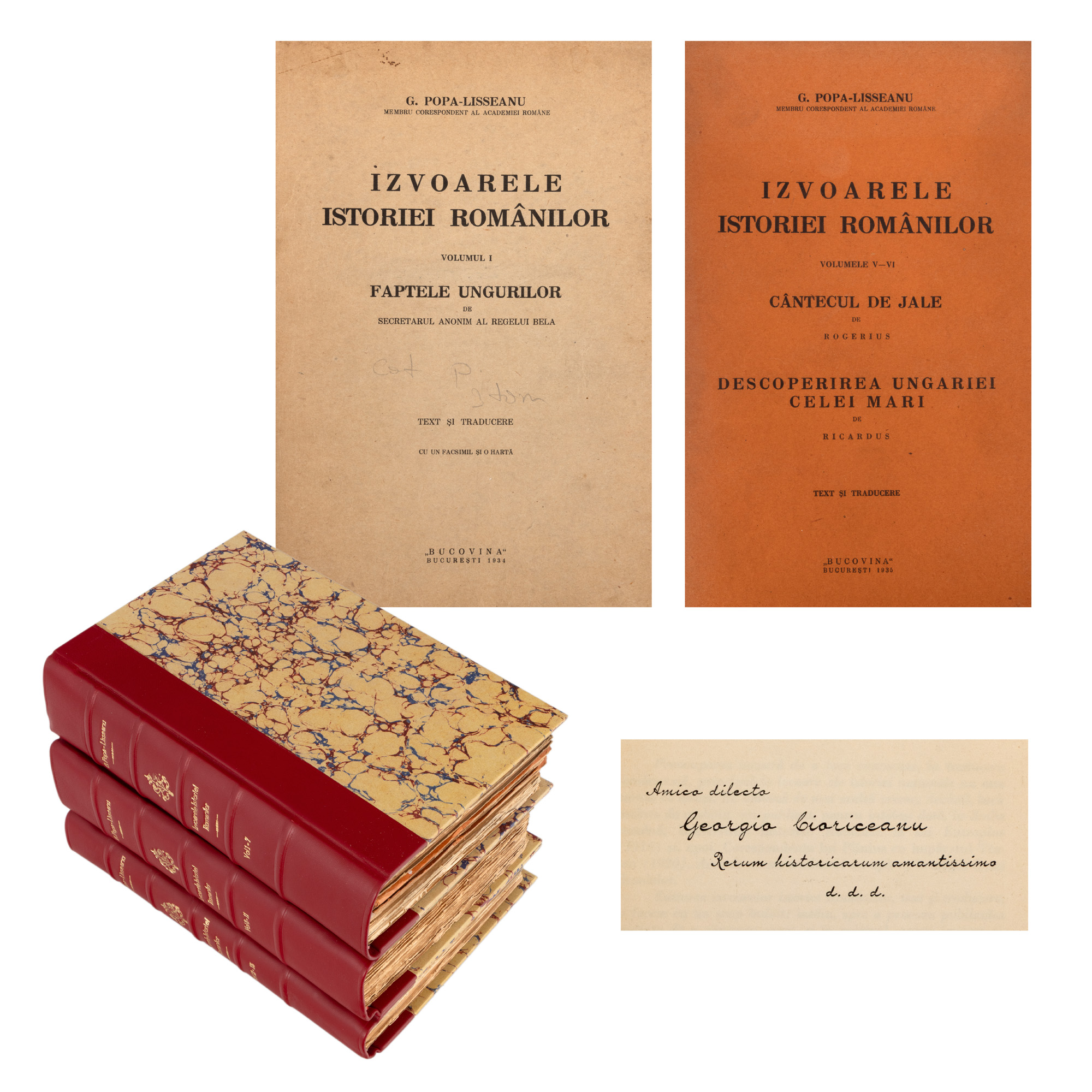
231. "Sources of Romanian History", by Gheorghe Popa-Lisseanu, volumes I-XV, Bucharest, 1934-1939
Starting price
EUR 150
0 Zile, 16 Ore, 29 Minute
Time remaining until live auction starts