

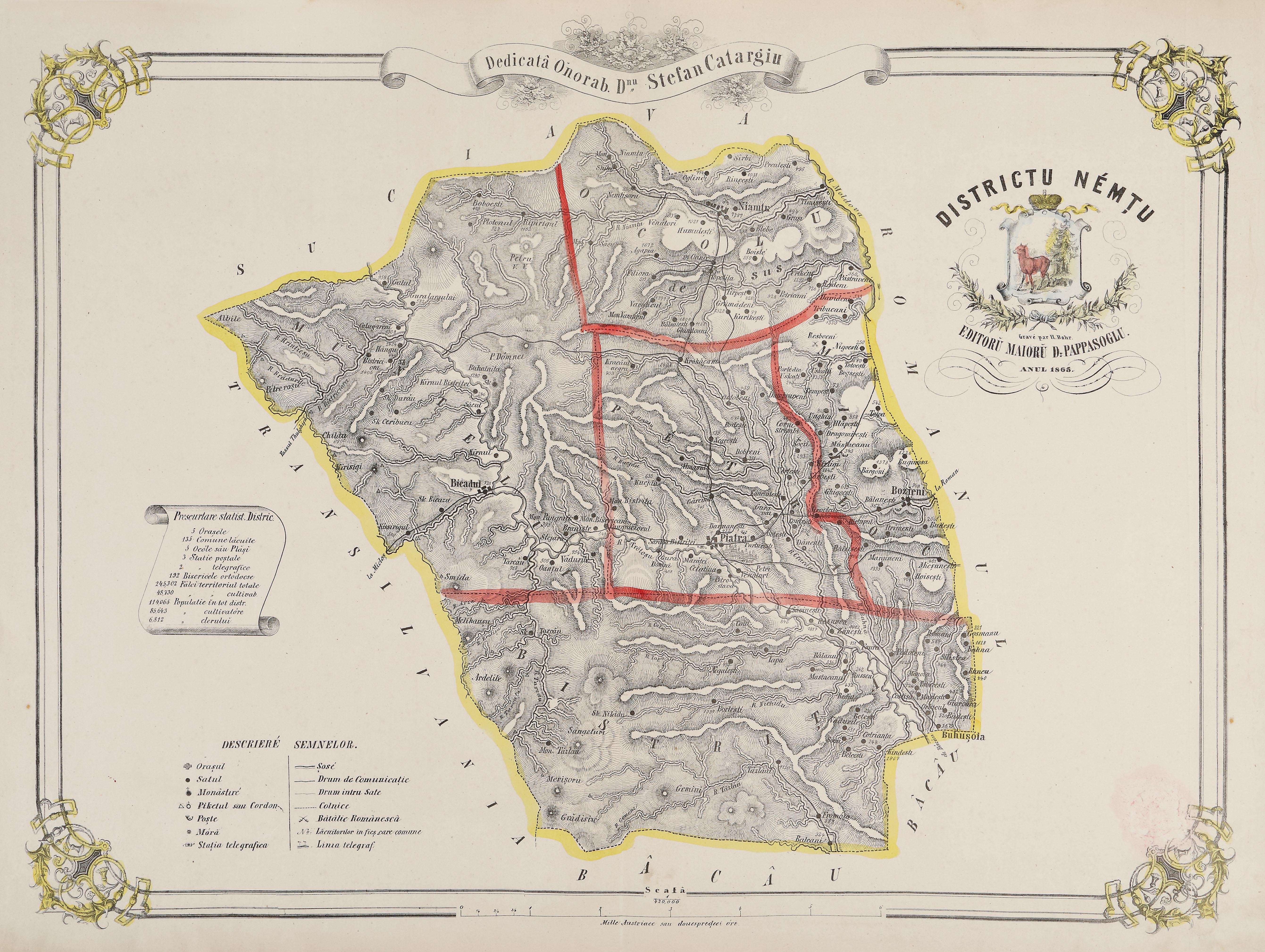
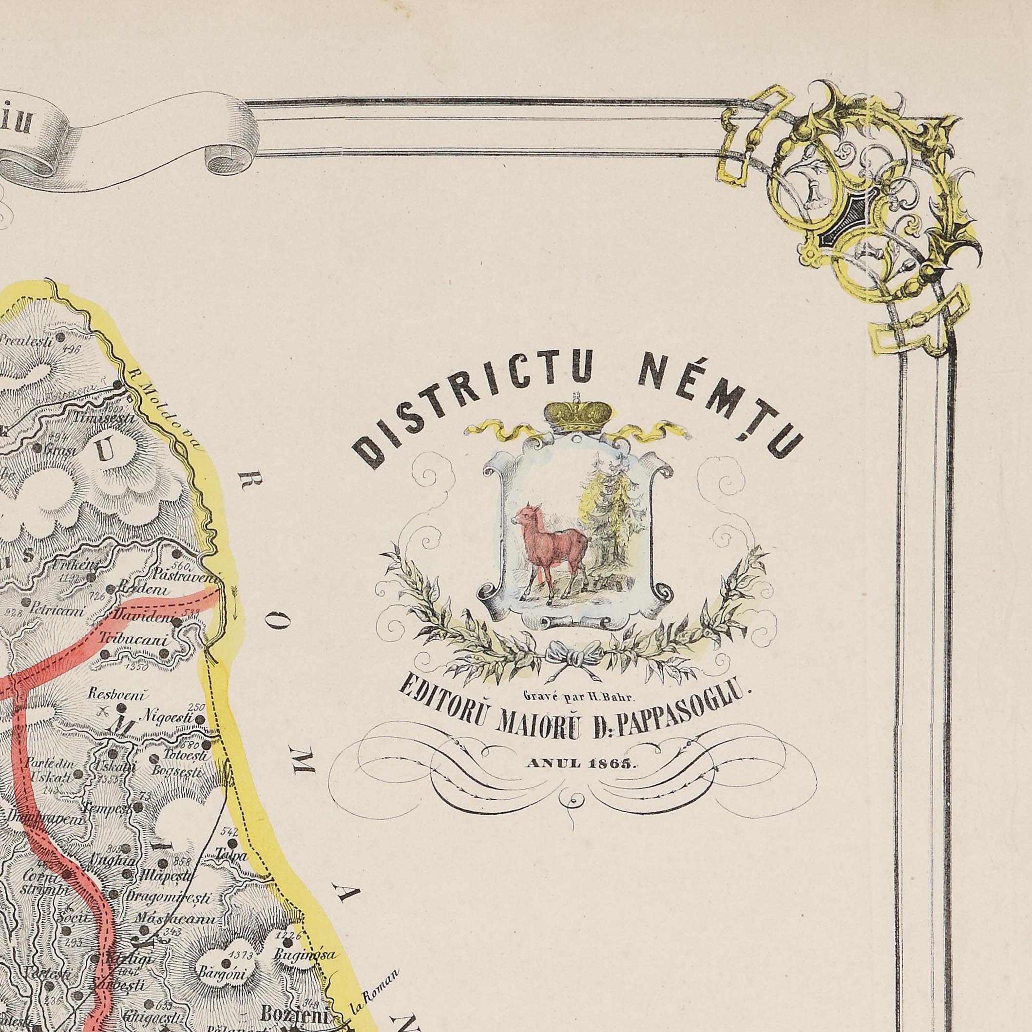
48. Map "Neamț District", by Dimitrie Papazoglu, Bucharest, 1865, very rare item
The photos of the lot are informative and indicative, and cannot provide a highly detailed view of the object from all angles. We recommend a careful physical inspection of the lot before bidding.
48. Map "Neamț District", by Dimitrie Papazoglu, Bucharest, 1865, very rare item
Starting price:
EUR 200
Sold
EUR 300
chromolithography, 48.5 x 65 cm, 48,5 Ã 65 cm
In 1864, Dimitrie Papazoglu published "The Geographic and Statistic Atlas of Romania", which comprised detailed maps of the 32 districts of Romania, as well as multiple statistical data, extremely interesting and valuable for the modern history of our country. Full of details maps presented: national and local roads, the number of families in each township, the monasteries, the telegraph lines, post offices, border pickets from the Danube and in the mountains, border crossing points, places where battles took place, archaeological sites. Also, every map had statistics that comprised the number of: cities in the district, townships, regions, telegraph and post stations, pickets, monasteries, acres (cultivated and not cultivated), owners, landholders, as well as the population of the respective district. On the map are marked: the superscription, the district's coat of arms, the name of the editor and engraver, as well as the personality to whom the map was dedicated. Papazoglu started to make "The Geographic and Statistic Atlas of Romania" in 1863, starting from the idea that all chancelleries of the urban and rural authorities, all schools in the cities and townships, and all military detachments should have the map of the country, not only the general one (that he published in 1859), but also the one of the district they lived in. Each of the 32 maps was printed in 500 copies. Every district had 400 copies assigned; 100 copies were held, which were included in the present atlas. As a result, its value is as great as only a very reduced number of copies were made.
For clarifications regarding the bidding procedure, hammer price costs, guarantee, payment, and collection terms for the winning lot, we recommend carefully reading/re-reading the Bidding Regulations.
For additional information regarding the lot and the auction, please contact the Art Consultants Department.
SESSION
Similar lots
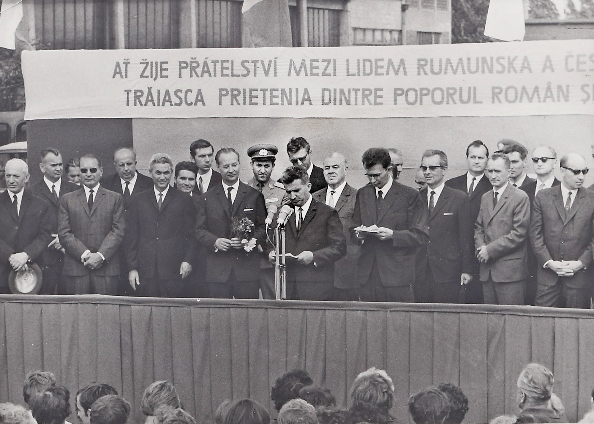
159. Photograph depicting "Signing of the Treaty of Friendship and Mutual Assistance with Czechoslovakia", Nicolae Ceaușescu and Alexander Dubcek, Prague, August 15-17, 1968
Starting price:
EUR 75
Sold post auction
EUR 75