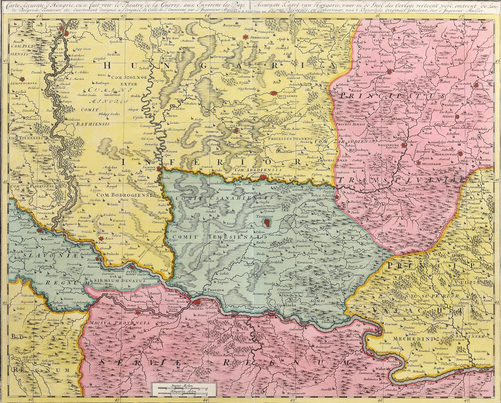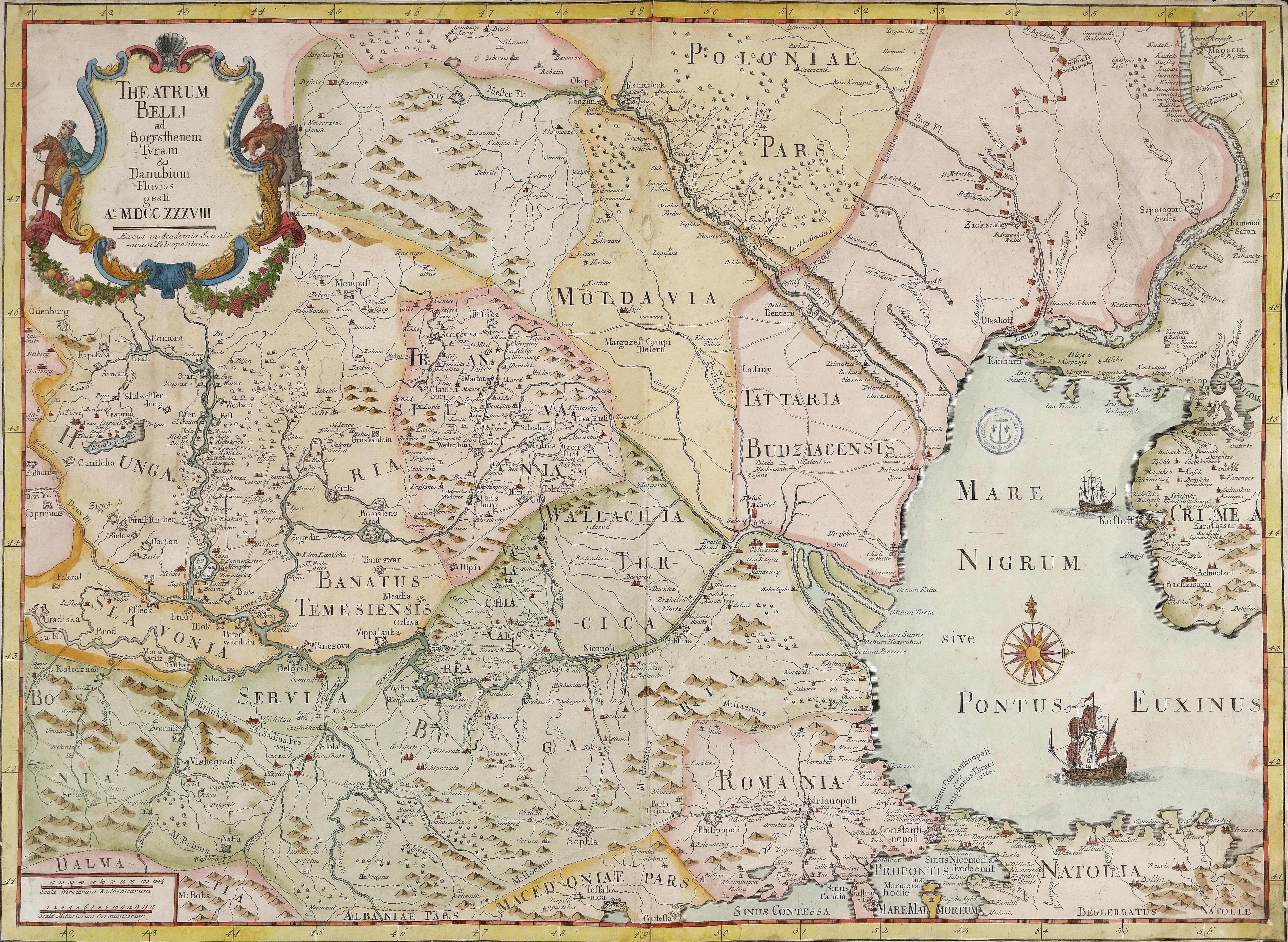
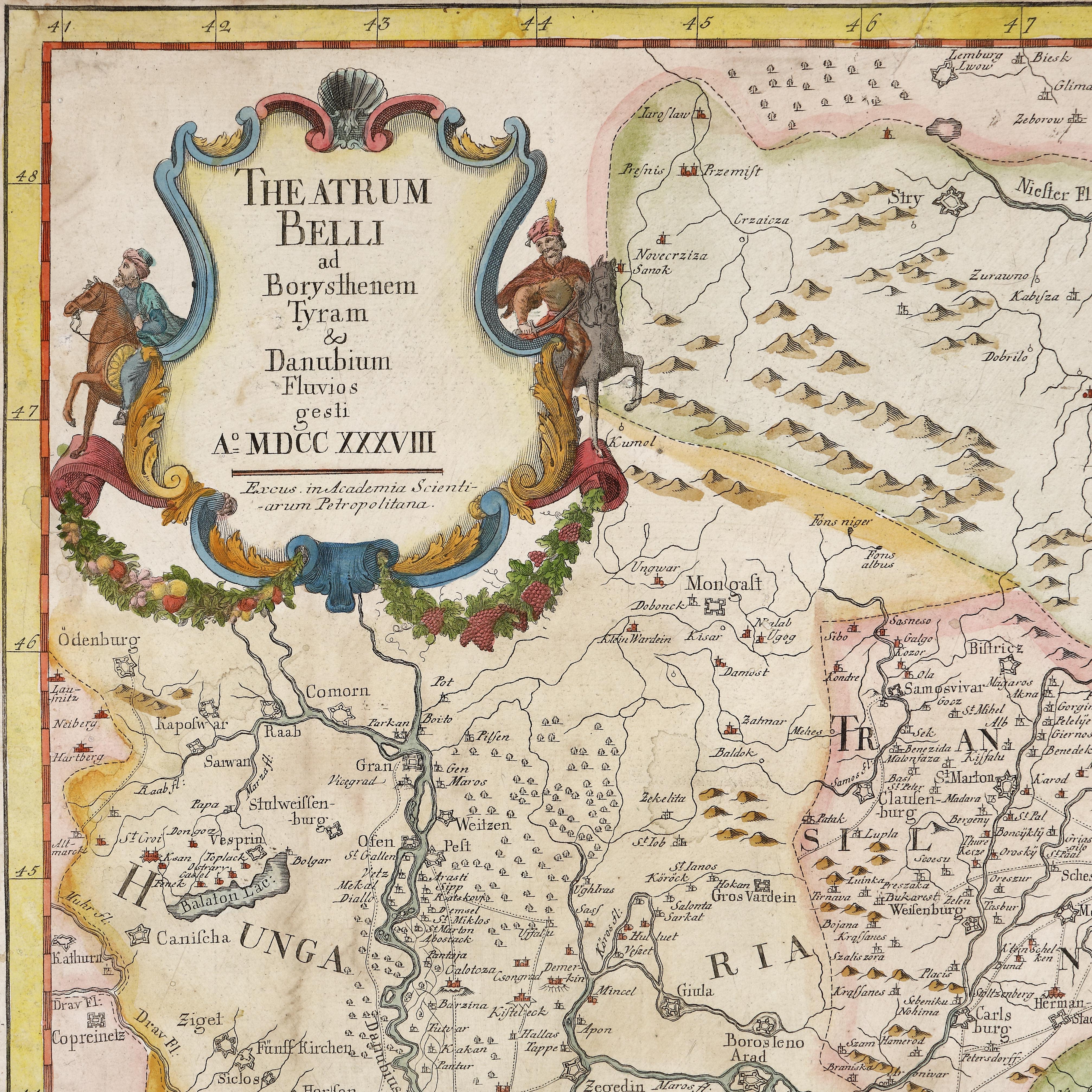
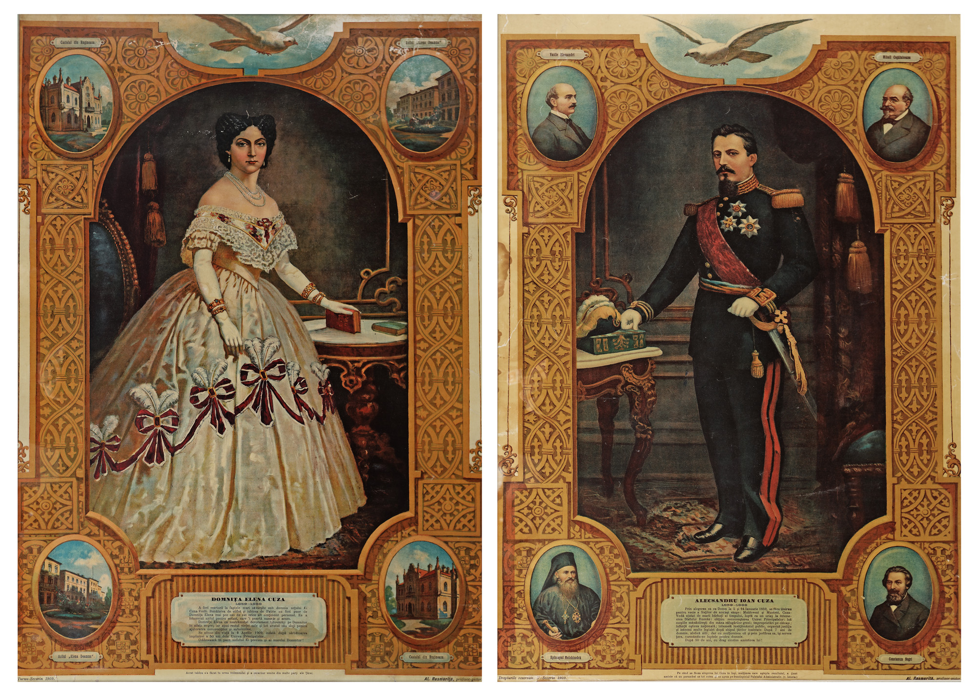
21. Map "The Russo-Turkish War of 1735-1739", by Joseph-Nicolas Delisle, Saint Petersburg, 1738, rare collectible item
Selling price
EUR 2.040
Session
Tue, 5 April 2022 19:00
Dimensions
width 65.5 cm, height 48 cm, custom 48 Ã 65,5 cm
Description
copper engraving, laid paper, hand-coloured
ADDITIONAL INFORMATION
For clarifications regarding the bidding procedure, hammer price costs, guarantee, payment, and collection terms for the winning lot, we recommend carefully reading/re-reading the Bidding Regulations.
For additional information regarding the lot and the auction, please contact the Art Consultants Department.
Detalii
ADDITIONAL INFORMATION
For clarifications regarding the bidding procedure, hammer price costs, guarantee, payment, and collection terms for the winning lot, we recommend carefully reading/re-reading the Bidding Regulations.
For additional information regarding the lot and the auction, please contact the Art Consultants Department.
Dimensions
width 65.5 cm, height 48 cm, custom 48 Ã 65,5 cm
Description
copper engraving, laid paper, hand-coloured
Similar lots
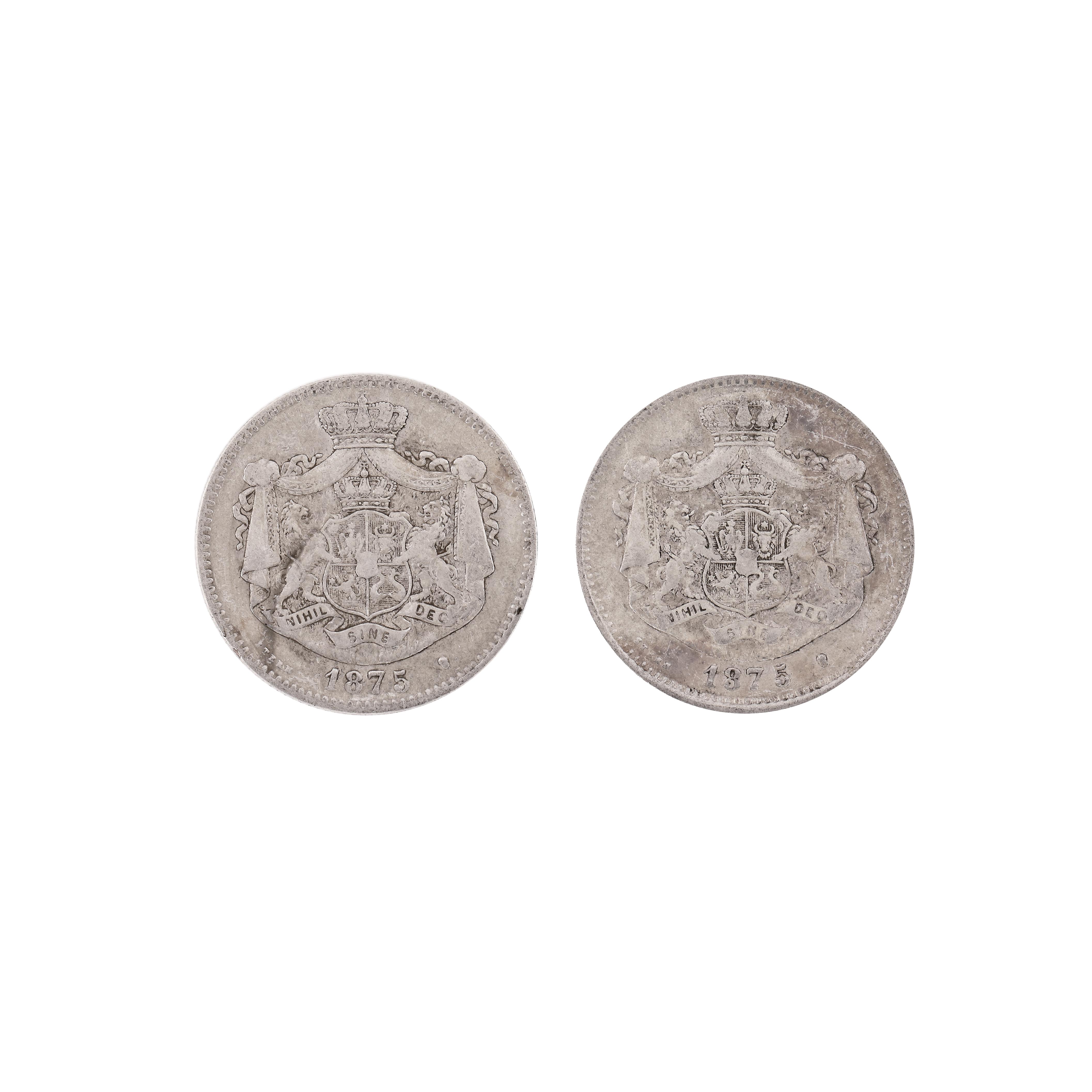
132. Two variants of the 2 Lei 1875 silver coin, with the number 5 farther or closer