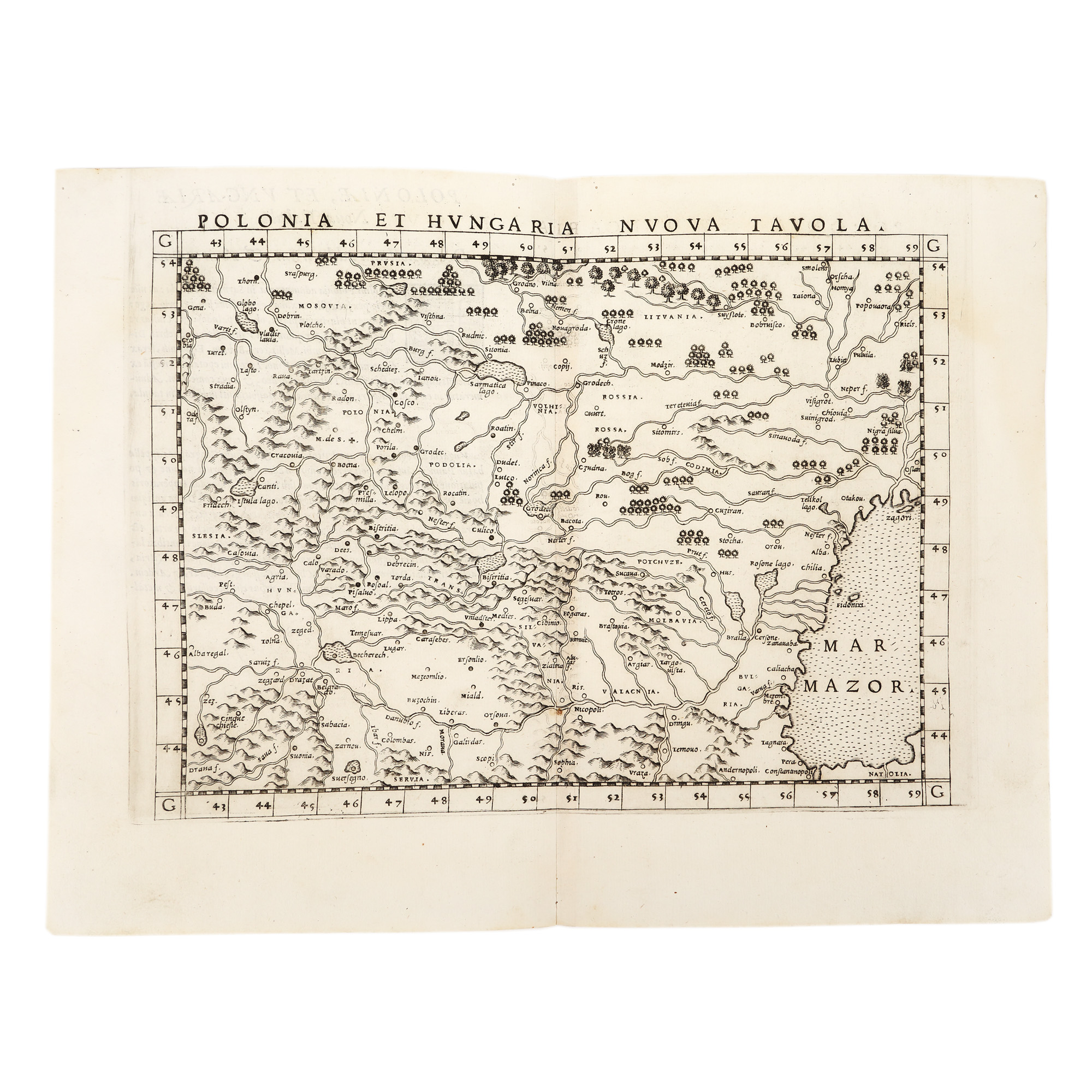
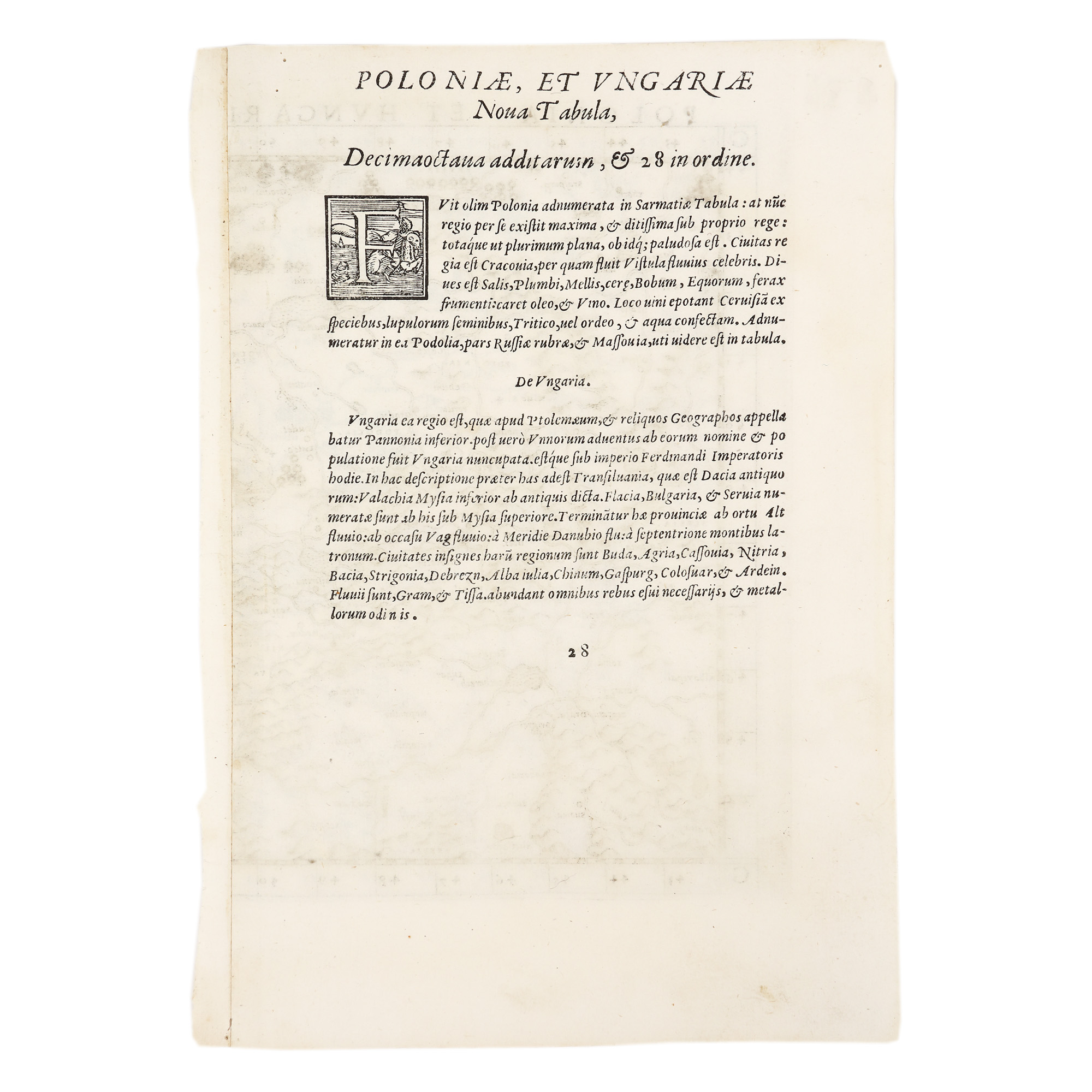
213. Map "Polonia și Ungaria" ("Poland and Hungary"), by Girolamo Ruscelli, 1574
Starting price
EUR 250
Sold
EUR 300
Session
Thu, 2 February 2023 19:00
Dimensions
width 31 cm, height 23 cm
Description
copperplate engraving, striped paper
ADDITIONAL INFORMATION
For clarifications regarding the bidding procedure, hammer price costs, guarantee, payment, and collection terms for the winning lot, we recommend carefully reading/re-reading the Bidding Regulations.
For additional information regarding the lot and the auction, please contact the Art Consultants Department.
Detalii
ADDITIONAL INFORMATION
For clarifications regarding the bidding procedure, hammer price costs, guarantee, payment, and collection terms for the winning lot, we recommend carefully reading/re-reading the Bidding Regulations.
For additional information regarding the lot and the auction, please contact the Art Consultants Department.
Dimensions
width 31 cm, height 23 cm
Description
copperplate engraving, striped paper
Similar lots