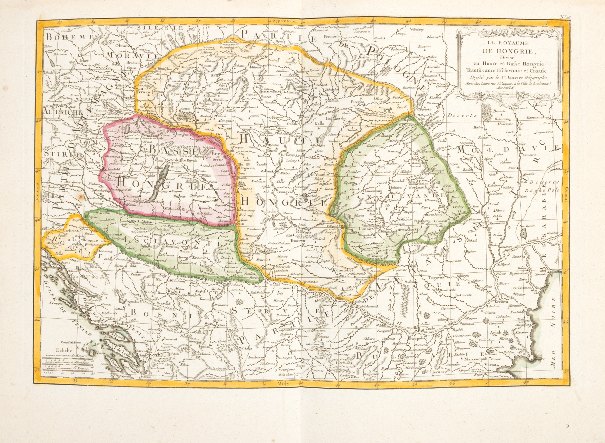
239. Map "Kingdom of Hungary divided into Upper and Lower Hungary, Transylvania, Sclavonia and Croatia", by Jean Janvier, Paris, 1783
Selling price
EUR 225
Session
Tue, 24 June 2025 18:00
Dimensions
custom 32 x 45 cm
Description
copper engraving, striped paper, hand-colored
ADDITIONAL INFORMATION
For clarifications regarding the bidding procedure, hammer price costs, guarantee, payment, and collection terms for the winning lot, we recommend carefully reading/re-reading the Bidding Regulations.
For additional information regarding the lot and the auction, please contact the Art Consultants Department.
Detalii
ADDITIONAL INFORMATION
For clarifications regarding the bidding procedure, hammer price costs, guarantee, payment, and collection terms for the winning lot, we recommend carefully reading/re-reading the Bidding Regulations.
For additional information regarding the lot and the auction, please contact the Art Consultants Department.
Dimensions
custom 32 x 45 cm
Description
copper engraving, striped paper, hand-colored
Similar lots